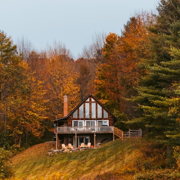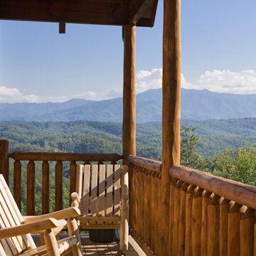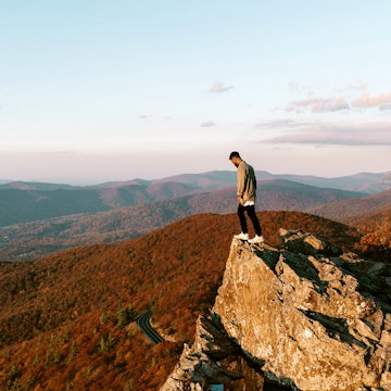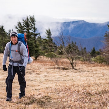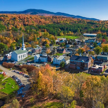

Autumn colours at the Chimney Tops picnic area in the Great Smoky Mountains National Park in Tennessee.
Gatlinburg, Tennessee is known as the 'Gateway to the Smokies' for a reason. This tiny East Tennessee mountain resort, with a population of just 3,754, is nestled against the western edge of Great Smoky Mountains National Park. Technically a sub-range of the Appalachian Mountains, the Smoky Mountains are a wild expanse of rounded ridges, often shrouded by the mists that give the national park its name.
More than 500,000 acres of the Smokies fall within the national park boundaries, with around 150 different hiking trails offering the chance to walk through 800 miles of wild country. The mountains rise to 6,643 feet (2025m) at their highest point, and the higher ground is often crowned with snow in winter; the tumbling valleys come into their own in fall when the changing leaves fill the forests with colour. As well as Gatlinburg, other Tennessee towns offering easy access to the national park include Cosby, Pigeon Forge, Sevierville and Townsend.

Because the park is so big—spanning two states, Tennessee and North Carolina—it can be hard to know where to start exploring. This is also the most-visited national park in the United States, with more than 12.5 million visitors in 2020, so it can take a little planning to get away from the crowds. Fortunately, Gatlinburg makes it easy for first-timers to get outdoors, both inside the national park and at smaller, but no less lovely, parks inside the city limits.
Whether you’re looking for a family-friendly space to get outside with the kids downtown, or the best ways to get into the national park, we’ve got you covered. Here's our pick of Gatlinburg's green spaces.
Roaring Fork Motor Nature Trail
If you’re looking for an easily accessible way to see the Smokies, this 5.5-mile looping driving trail should be your go-to. As you slowly make your way down a winding paved road, you'll pass gorgeous forest scenery and plenty of spots where you can pull over for woodland hikes, or soak up the vistas from scenic overlooks.
The trail is named for Roaring Fork, a fast-moving mountain stream, and its tributaries create several surging cascades along the route, including Grotto Falls, reached via an easy 2.6-mile round-trip hike, and Rainbow Falls, at the end of a more challenging 5.4-mile tramp. Near the end of the loop, the Place of a Thousand Drips falls spills dramatically through the forest, but it only performs during wet weather.
There's history here too. Built in the 1920s by an eccentric lawyer seeking a healthier life in the wilderness, Ely’s Mill is no longer a working mill, but stopping here gives a sense of what agricultural life was like in these mountains in the past. Today, there's a shop with locally-made crafts, some rather charming wood cabins where you can spend the night, and demonstrations of blacksmithing and other traditional skills.
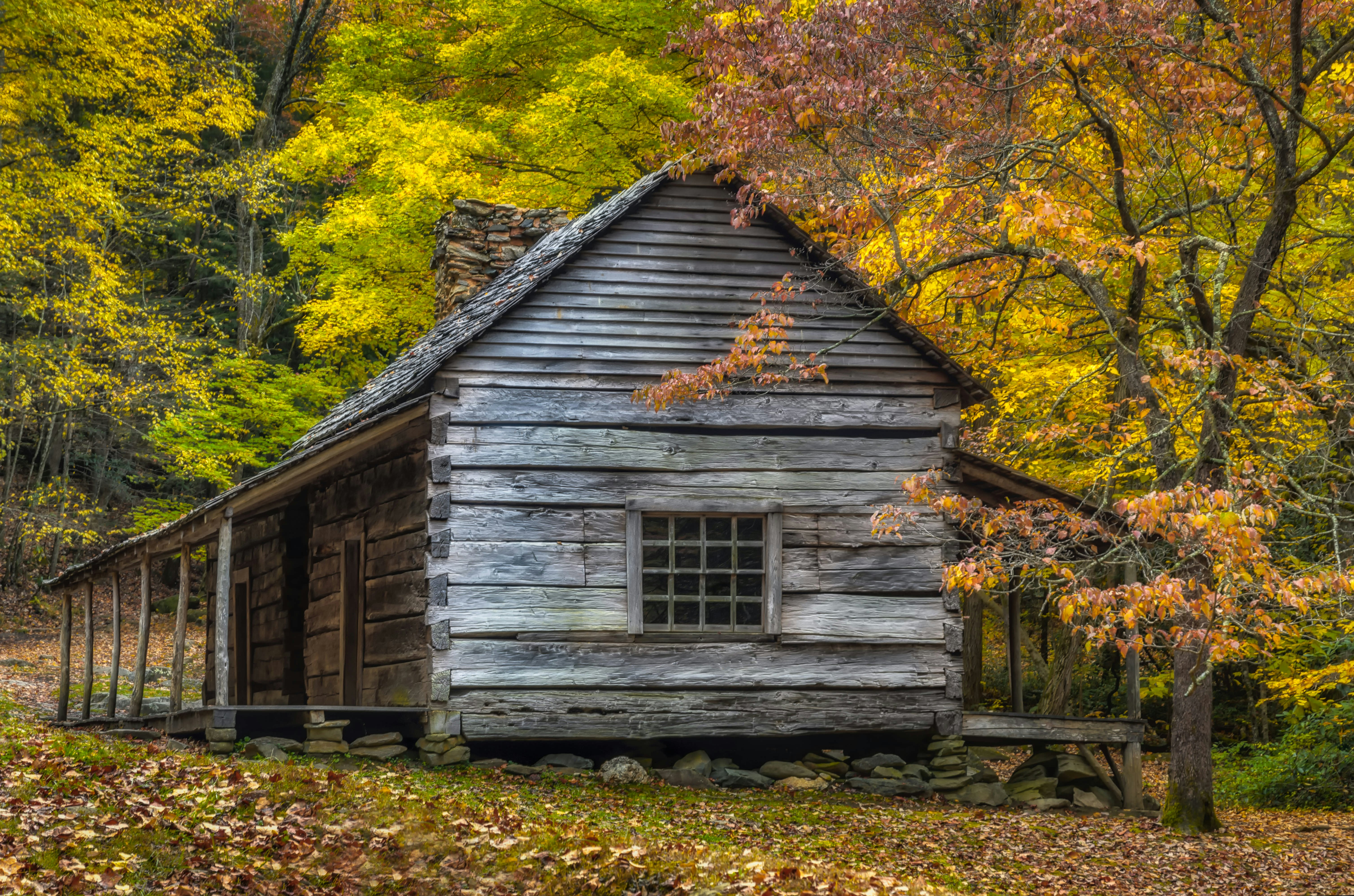
To get to Roaring Fork Motor Nature Trail, turn left at Traffic Light 8 in Gatlinburg and follow the signs to the national park. En route, you'll pass the worn, wooden facade of Noah 'Bud' Ogle Place, a historic 19th-century homestead offering another evocative glance into the region’s past.

Cades Cove
The 11-mile Cades Cove Loop Road is one of the park’s most popular driving routes, starting about 30 miles southwest of Gatlinburg. Between town and Cades Cove you’ll pass Metcalf Bottoms, one of the Smokies’ biggest and best picnic areas, with a swimming area set on a pretty stretch of the Little River. The scenery along the Loop Road is stunning and there are numerous historic stops, including restored churches and pioneer cabins and the old Cable Grist Mill, built in 1867, but it can get very busy all along the route.
Historically, Cherokee and other Native American peoples used Cades Cove as a way to traverse the Smokies on foot (the valley was named for Cherokee leader, Chief Kade). Modern park visitors like to drive through this meadow-like section of the park, scanning the verges for wildlife. Cades Cove is famous for black bear activity; you’re likely to see them as well as wild turkeys, rabbits, river otters, elk and woodchucks.
While it's best known as a driving loop, every Wednesday and Saturday morning from May to September, the route is closed to cars so you can walk or cycle (rental bikes are available). The visitors center near the midpoint of the driving loop is a solid source of information for deeper explorations. More visitors centers can be found in downtown Gatlinburg (520 Parkway) and in Sugarlands (2 miles south of Gatlinburg), Oconaluftee (2 miles from Cherokee, North Carolina), Sevierville (3099 Winfield Dunn Pkwy) and Townsend (7906 E Lamar Alexander Pkwy).

Clingmans Dome
At 6,643 feet (2025m), Clingmans Dome is the highest point in the Great Smoky Mountains National Park, offering remarkable 360-degree views over a rippling sea of forested hills from the top of its curving, concrete observation tower. You’ll need to walk up a steep, paved half-mile-long footpath to get here (wheelchairs are not recommended because of the slope), but once you get to the top, you’ll have conquered the third-highest peak in the eastern United States.
The views are pretty spectacular, particularly in fall, when the changing foliage repaints the landscape in a pointillist palette of reds, browns and golds. One of the four visitors centers inside the national park can be found at Clingmans Dome, and it's a good place to check weather conditions before setting off on hikes deeper into the park (they also run ranger-guided activities). To get here, drive about 23 miles south from Gatlinburg along the Parkway; Clingmans Dome is at the end of a 7-mile spur road.

Herbert Holt Park
Just within the Gatlinburg limits, Herbert Holt Park (North Park Lane) spills into woodland on the West Prong of the Little Pigeon River. The big draw here is one of Tennessee's only municipal rainbow trout farms; the fishing pier is wheelchair accessible and no fishing license is required. It's an easy, family-friendly option for a relaxed driving-free morning or afternoon.
There’s also a playground geared to toddlers and younger kids, and picnic areas with lots of shade. Note that there's no fishing on Thursday when the river is re-stocked with fish. The park is tucked into a valley and is not visible from the hwy; it's just across the road from Parkside Cabin Rentals as you drive into Gatlinburg from the north.

Mynatt Park
Another laid-back Gatlinburg park, Mynatt Park (622 Historic Nature Trail) is a family-friendly getaway with pickleball and tennis courts and a playground. As at Herbert Holt, there’s fishing available, on a section of LeConte Creek that is designated for 'children only' fishing. The fishing pier allows physically handicapped individuals to access the river to fish and no fishing license is needed. If fishing isn't your thing, there are views of the creek from waterside picnic tables. The park is at the beginning of the Roaring Fork Motor Nature Trail, on the southern town limits, so it's easy to continue deeper into the national park.

Mills Park
Edging onto the forest on the eastern edge of town, Mills Park (309 Mills Park Rd) offers the best of both worlds. It's set among the misty woods that people typically associate with the Smokies, but here you have the family-friendly amenities of a city park. Kid-oriented diversions include the Storywalk Trail, where you can learn stories about the Smokies as you walk along tot-friendly paths.
Mills Park is also one of the area’s best dog parks, with one of only two trails in the national park that allows four-legged friends. Mills Park also has horseshoe pits, disc golf, and outdoor exercise equipment. Find the park near the Great Smoky Arts & Crafts Community loop drive, northeast of Gatlinburg towards Cosby.

Things to remember
Some 1500 black bears call the Smokies home, and it's best not to get too close to these large, unpredictable animals. It isn’t uncommon to see bears on roads and trails both on the edges of Gatlinburg and throughout the Great Smoky Mountains National Park, so remember to dispose of food waste in bear-safe trash receptacles after your picnic, and give bears lots of space when you see them.
You may also like:
First-timer's guide to Great Smoky Mountains National Park
The best day trips from Asheville
Fall-ing for Tennessee: unforgettable outdoor autumn adventures


