The Bahamas’ best hikes for birds, blue holes and (of course) beaches
Oct 18, 2022 • 5 min read

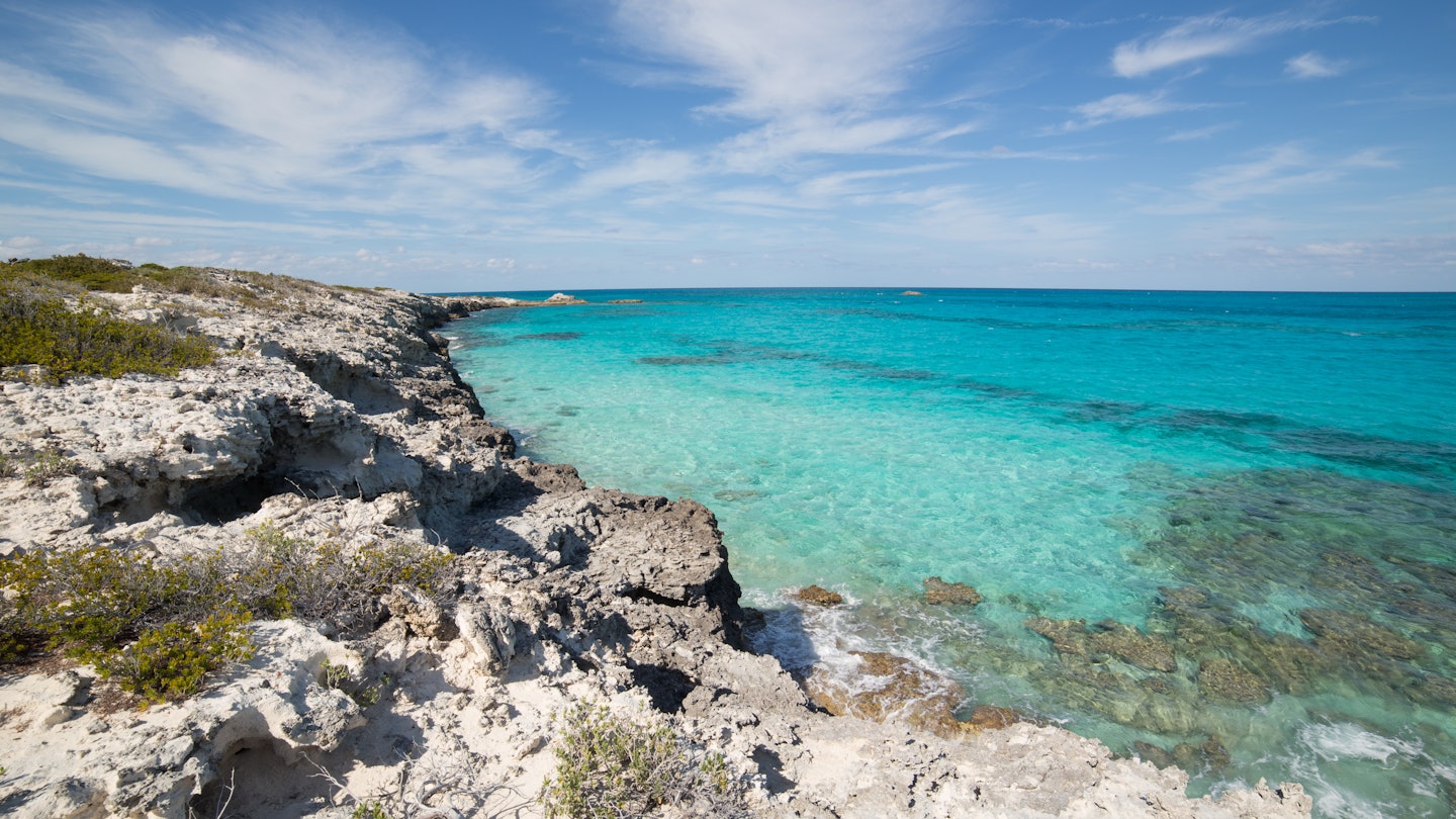
While the Bahamas is known for dreamy beaches and crystal-clear waters, its larger islands offer biodiverse land areas to explore by foot © Matt A. Claiborne / Shutterstock
When travelers think of the Bahamas, they think of the sea – yet the dry land in this alluring archipelago beckons as well.
Even if you’re planning on several weeks of diving, sailing and beachside bliss, it’s well worth making time for one the Bahamas’ gloriously varied hiking options. While many of its 3000-plus islands and cays are simply too small to explore on foot, the larger islands offer an alluring mix of subtropical vegetation zones (six in all), historical sights and flourishing native flora and fauna.
These are the best hikes in the Bahamas.

Colorful Nassau is best for historic sights
3.7 miles (6km) one way; 3–4 hours with stops; easy
Founded in 1670 by British privateers seeking a base for raids against Spanish treasure ships, Nassau has a colorful, often cutthroat history. Dodge the straw-goods vendors and cigar shops catering to the cruise-ship crowds and walk this downtown circuit to experience the city’s true historical fabric.
Orient yourself both historically and geographically in downtown Pompey Sq, site of the intriguing Pompey Museum of Slavery and Emancipation – both named for a slave who led a successful revolt in 1830. East and inland from here, Nassau’s other museums are a mixed bunch, including the coral-pink Balcony House, Nassau’s oldest; the Heritage Museum of the Bahamas in 19th-century Mountbatten House; and the tawdry-but-fun Pirates of Nassau.
As you head uphill and loop back west, the city’s real historical gems emerge. Parliament Square is surrounded on three sides by Georgian buildings; the slave-built Queen’s Staircase leads to superb views from Fort Fincastle; and West Hill offers the Graycliff Cigar Co, National Art Gallery of the Bahamas and John Watling’s Distillery.
Planning tip: Set off in mid-afternoon to time your finish with cracked conch and sky juice at the Fish Fry, between Arawak Cay and the bastions of Fort Charlotte.
Stocking Island’s beach-to-beach route offers the best island circuit
8 miles (13km); 5–6 hours; hard
The barrier island that shelters Great Exuma’s eastern shore, Stocking Island is a delightful place to roam. With a permanent population of only 10, the island offers immaculate beaches, scrubby forests and blue holes to explore without interruption.
Take a water taxi from George Town to Government Dock in Hurricane Hole, where ships have sheltered from violent winds for centuries. Your circuit starts among the blinding sands and clear blue shallows of Honeymoon Beach, then loops around the island’s 3-mile (5km) circumference. If you don’t swim at Honeymoon, just choose from the succession of perfect beaches that powder your way: Hamburger, Starfish, Sand Dollar, Shep’s and (especially) Flip Flop.
You’ll traverse the island counterclockwise, contrasting the peaceful Elizabeth Harbour coast with the less sheltered eastern side facing Exuma Sound and the Atlantic Ocean. Inland paths lined with casuarina trees and palms head toward scenic viewpoints such as the monument surmounting the island’s low peak; Pirate’s Lair Cave; and Tidal Pond.
At Volleyball Beach – journey’s end – rest up and reward yourself with a Goombay Smash (a Bahamian favorite of different rums and fruit juices) at Chat’n’Chill Bar.
Planning tip: Mosquitoes at dusk and tenacious sand burrs are two irritants you should definitely prepare for.
Head to Blue Holes National Park to explore the wonders of sinkholes
1.5 miles (3km) round trip; 2 hours (with swimming); easy
Andros, the biggest and most sparsely populated of the Bahamas, has the world’s highest concentration of “blue holes.” There are over 50 of these karst sinkholes – which fill with a mix of rain and seawater to form unique ecosystems – scattered around the pine forests and mangroves of the “Big Yard.”
Just above Andros Town, the island’s largest settlement, is Blue Holes National Park, extablished in 2002. At 40,000 acres (16,200 hectares), the park protects 22 blue holes, including some of Andros’ most famous. Trails and signs lead to Captain Bill’s Hole, where a swimming deck encourages visitors to take the “Leap of Faith” into clear, 100ft(30m)-deep blue water. Beyond, and harder to reach, is Cousteau’s Hole, named for iconic French oceanographer Jacques Cousteau.
Planning tip: Wild Andros is a haven for birds. Watchers should bring their binoculars and hope to see a Bahama oriole or shy great lizard cuckoo.

Lucayan National Park has the best underwater caves
1.25 mile (2km) round trip; 2 hours (with stops); easy
Named for the indigenous inhabitants of the Bahamas, Lucayan National Park on Grand Bahama is the second-most popular in the islands (after Exuma Cays Land and Sea Park). Best known for its system of underwater caves, one of the world’s longest, the park also bears traces of the original Lucayan people, and showcases biodiversity from all six of the vegetation zones found in the islands.
At only 40 acres (16 hectares), the park doesn’t lend itself to long hikes. Its system of boardwalks and trails, however, allows visitors light-footed access to pristine mangroves, pine forests and two underwater caves – Ben’s Cave and Burial Mound Cave, where the pre-Columbian remains of six Lucayan Indians were discovered. Viewing platforms take visitors to the lip of the freshwater caves, though swimming is not allowed.
Planning tip: Pack your swimwear and cool off at Gold Rock Beach.

Abaco National Park offers the best bird watching
3 mile (5km) round trip; 2 hours; moderate
Abaco National Park sits at the extreme southern tip of Great Abaco, a highlight of the sailing mecca known as the Abacos. Founded in 1995, this quiet, 20,500-acre expanse of forest protects threatened species such as the Abaco parrot. An estimated 1000 of these emerald-and-rose-feathered birds live in the park, constituting almost a third of their entire population.
But the parrot is not the only bird taking shelter among the pine forest and copses of this little-visited natural sanctuary. Sparsely marked hiking trails take visitors deep into its expanse, where they may see glimpses of four other endemic birds – the Bahama yellowthroat, Bahama warbler, Bahama swallow and Bahama woodstar hummingbird.
Planning tip: Base yourself in Hope Town on pretty Elbow Cay. From here it’s a short water-taxi ride to Great Abaco’s Marsh Harbor, where a rental car can whisk you south to the park, at the end of the island’s only highway.


