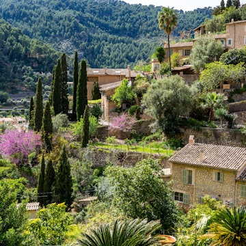

Experience the amazing hiking trails just one hour from the center of Madrid © Miguel Angel Partido Garcia / Getty Images
"¡Vaya, vaya! ¡Aquí no hay playa!" – which translates to "here, there is no beach!" – is a familiar refrain in Madrid, a good-humored lament to the fact that the Spanish capital lacks its own city beach.
But what Madrid lacks in coastline, it certainly makes up for in spellbinding natural views, thanks to its proximity to the Sierra de Guadarrama mountain range and the Manzanares River that flows out into the lowlands.
A dramatic, biodiverse terrain of rough granite rock formations, waterfalls, forests, glacial lakes and lagoons forms a spectacular backdrop to Madrid’s countless hiking trails, which link a string of historic hill towns. A mere hour’s drive from Madrid, the Sierra de Guadarrama offers a great getaway for hikers of all levels who want to escape the city crush, even for just a day.
So, after you've explored the capital's top sights, and caught your breath in its green city parks, head to the hills. Here's a roundup of the best hiking trails near Madrid.

Siete Picos (Seven Peaks)
Best easy hike
10km (6.2 miles), 3–4 hours, easy
Taking its name from the seven granite peaks that line up along its soaring rocky massif, this simple, relaxed hiking trail is one of Madrid’s most popular routes because of its accessibility, low difficulty level and panoramic views. In the Middle Ages, this famous landmark was known as the "Sierra del Dragon" because its distinguishing summits resemble the serrated backside of a dozing dragon.
The family-friendly Siete Picos hike starts from the Puerto de Navacerrada ski station and follows the El Telégrafo ski lift up to the ridge, before tracing the lofty spine of the Siete Picos and looping back to Puerto de Navacerrada along the Schmidt Trail. You get a lot of views for your buck along the rocky ridge – bring your camera!

Peñalara
Best hike for seeing glacial lakes
14km (8.7 miles), 4 hours, intermediate
For glacial action at its best, the Peñalara circular route is a much-loved, intermediate-level hiking trail that takes you to the slopes of Madrid’s highest summit. The walk around 2428m (7966ft) Peñalara peak slowly unveils the area's breathtaking glacial lakes and cirques – plunging valleys resembling natural amphitheaters, formed by millions of years of glacial erosion.
Around these valleys are a series of crystal clear lakes, including the Laguna Grande (Big Lagoon), Lagunas de los Claveles (Lagoons of the Carnations), and Laguna Chica (Small Lagoon). The entire massif is part of the Sierra de Guadarrama National Park, ensuring pristine country for walking and well-maintained trails. Access to this route is via the Puerto de Cotos mountain pass in the Madrid municipality of Rascafría, an hour's drive or bus ride from Madrid.

La Pedriza
Best rocky mountain views
12km (7.5 miles), 3 hours, intermediate
Dramatic, rugged granite rock formations, juxtaposed against gently trickling streams and churning waterfalls, are the main draw on this moderate looping trail on the southern edge of the Sierra de Guadarrama. The La Pedriza track starts right at the town of Manzanares El Real, about 50km (31 miles) from central Madrid, situated close to the Manzanares upper river basin. While you're here, you can drop by the Castillo de los Mendoza, an almost too-perfect stone castle from the 15th century.
This spectacular trail is part of a Unesco Biosphere Reserve that creates a stunning natural habitat for verdant oak and pine forests and associated wildlife. The Manzanares river flows through the landscape to form clear pools and waterfalls, the most famous of which is the Charca Verde – literally, "green pool," named for its deep emerald hue.
La Pedriza’s granitic landscape was formed by cooling magma millions of years ago. A popular activity for modern hikers is to play a kind of "rock Rorschach test," finding familiar forms or animal figures in the shapes of the rocky facades. Rising over 1700m (5577ft), the peak of El Yelmo ("The Helmet") is La Pedriza’s highest summit and dominant landmark.
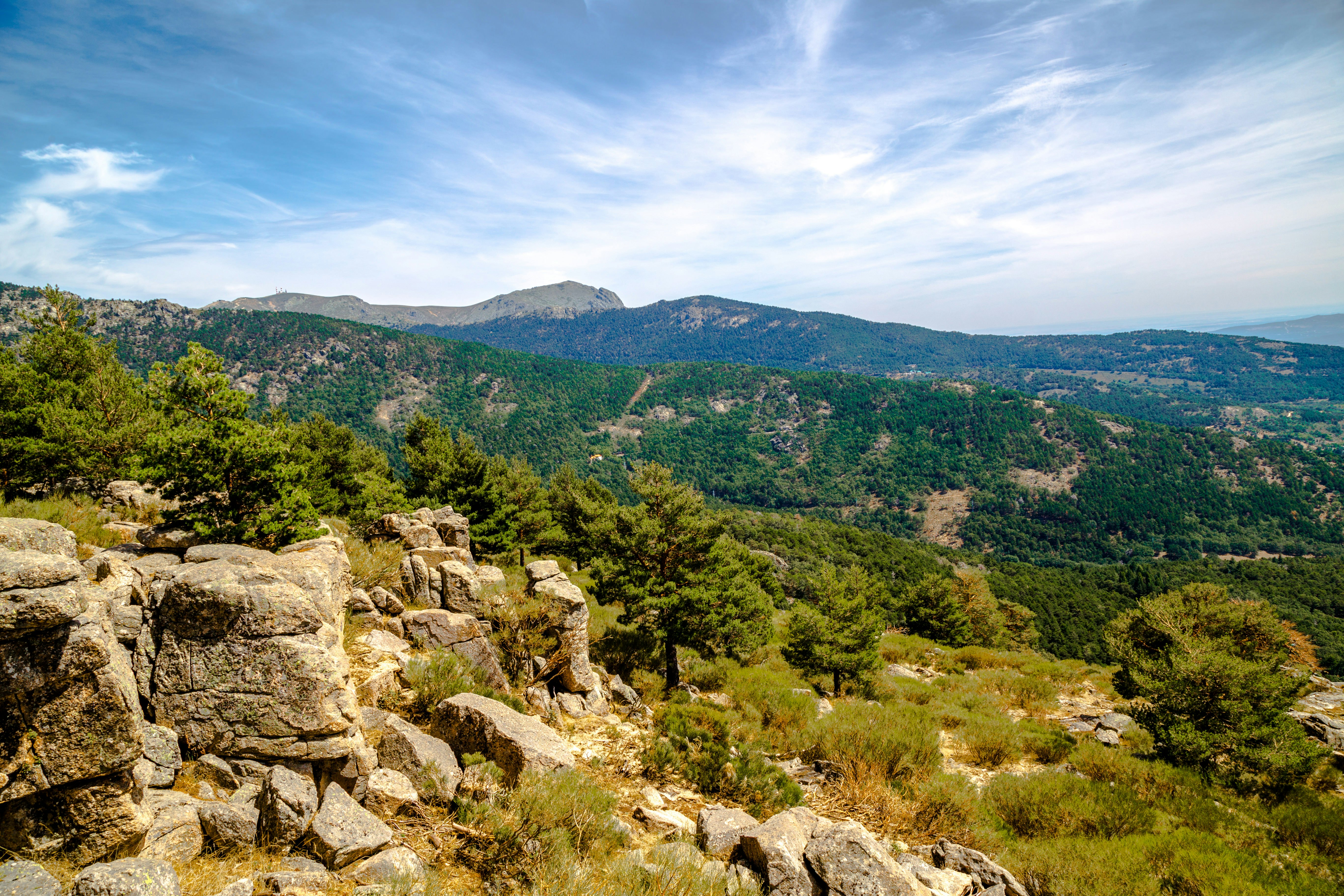
Camino de los Campamentos, Cercedilla
Best child-friendly hike
9.5km (6 miles), 2 hours, easy
The small mountain town of Cercedilla, just over 50km (31 miles) from Madrid, is a perennially popular hiking getaway thanks to a chain of easily accessible trails of varying levels of difficulty. There’s little chance of getting lost because of clear markers along the way, making it a great trekking destination for active families with kids in tow. The lovely, circular Camino de los Campamentos route takes you through the tranquil countryside of the Sierra, passing gently sloping hills, grazing horses and cattle, pine forests and mountain streams, which look exceptionally alluring during the spring and autumn seasons.
The trail is easily accessible upon arrival at Cercedilla train station; Paseo de Ródenas connects to the Camino Puricelli track, which leads on to the Camino de los Campamentos route. Along the way, you will encounter two mountain camps, La Peñota and Los Helechos, which were abandoned at the end of the Franco era. A small basin and clearing by the La Peñota camp makes for a great place to rest and set up a picnic of jamón iberico, handmade bread and Manchego cheese, picked up in a local deli before departure.
Valle de la Barranca - Mirador de las Canchas (Navacerrada)
Best hike for mountain vistas
10.5km (6.5 miles), 4 hours, difficult
The picturesque ski town of Navacerrada on the southern flank of the Sierra de Guadarrama mountains is the gateway to the stunning Barranca Valley, another hiker’s haven with trails that open up to majestic views of some of Madrid’s highest summits. During the colder seasons, the peaks are covered with snow, providing a magnificent backdrop for intrepid winter treks, as well as some of Madrid's best skiing. During the warmer months, the forested lower slopes are as beautiful as the higher ground.
The looping Mirador de las Canchas trail begins at the landmark Hotel La Barranca and ascends several steep slopes, leading to the route’s main viewpoint, the Mirador de las Canchas. This expansive esplanade affords sweeping views of the peaks of La Maliciosa, Bola del Mundo and Cuerda de las Cabrillas towering high above Madrid. For added outdoor entertainment, the de Pino a Pino Adventure Park along the trail offers zip lines, swinging rope bridges, circuits and tree jumps.


