
Grand Canyon National Park. Christopher Moswitzer/Shutterstock
Replete with jewel tones and an incredibly diverse terrain, Grand Canyon National Park is a gift to hiking enthusiasts.
Though it's tempting to take a seat on a roadside bench and just gaze at the canyon's deep, layered rings of geological wonder, it's well worth your time to lace up those hiking boots and hit some of the park’s 595 miles of trails.
Whether you’re after family strolls on paved routes or more challenging multi-day treks, this Arizona hotspot has numerous options to give you a perspective that far exceeds any scenic drive or viewpoint – whether you want to wander through towering pines, navigate deep river basins or get up close to desert bighorn sheep (but not too close!).
With multiple visitor centers, a geology museum, accessible trails and lodging throughout the park, the Grand Canyon is set up to welcome the many visitors that descend upon it every year. Still, it's best to plan your trip in advance and make early reservations. Packing the right equipment is essential, including sunscreen and plenty of drinking water, as are checking the weather forecast and ensuring whether hiking trails are open.
These are our five favorite hikes in Grand Canyon National Park.

1. South Kaibab Trail
Best for overall Grand Canyon hike
Distance: 6 miles round trip
Estimated time to complete: 6 hours
Level of difficulty: Hard
From The Chimney and Skeleton Point to Ooh Aah Point, the quirky names given to the major features of this rocky trail are only part of the fun. Make a full day out of the route by aiming to reach the remarkable river vistas available from Skeleton Point.
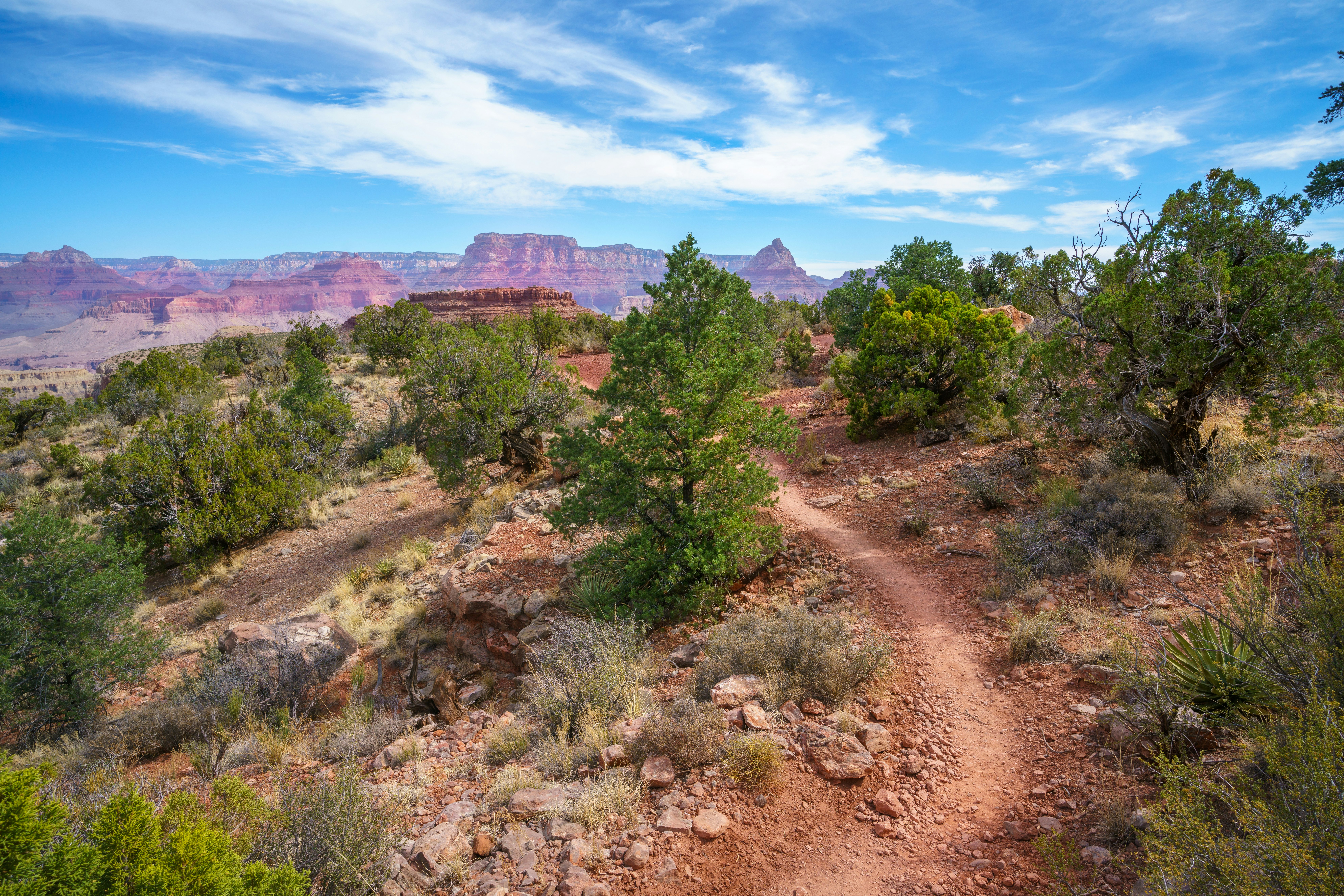
First, make your way down The Chimney. These descending switchbacks near the trailhead offer panoramic sweeps of the multicolored eastern Grand Canyon. Next, venture through Ooh Aah Point and Cedar Ridge – no prizes for guessing how either got their name – as you make your way to Skeleton Point.
Planning tip: Dropping nearly 5000ft in elevation, expect to do a lot of tiptoeing on the way down – and quite a slow jaunt back up. Pack plenty of water as there are no water stations along the way.

2. Grandview Trail
Best for views
Distance: 12.5 miles round trip
Estimated time to complete: 8 hours
Level of difficulty: Strenuous
With sweeping canyon vistas, this advanced trail on the South Rim lives up to its name. Dating from 1893, the Grandview Trail was originally carved out by miners, seeking easier access to copper ore. Today, it has evolved into the ultimate full-day adventure for hiking pros.
This trail throws you right into the deep end. From a well-marked parking area, steep switchbacks cut down dusty terrain, with vistas of the Hance Creek Valley greeting you at every turn. Following that, the rocky path periodically offers some flatter reprieves. The highlight of the trail is The Last Chance Mine, a former profitable copper mine. You can't enter, but disused equipment is scattered nearby.
Planning tip: There are no water stations on the Grandview Trail. Pack a filter if you want to drink water from a spring.

3. Bright Angel Trail
Best for multi-day hike
Distance: 15.2 miles round trip
Estimated time to complete: 2 days
Level of difficulty: Moderate
This trail, off the South Rim’s Grand Canyon Village, may be as popular as it gets around these parts and with good reason. Key to its charm is the inherent “choose your own adventure” aspect: numerous well-graded routes fork off from here, which means once you're past the car park, the Grand Canyon is yours to conquer. The crowds soon ebb away as you hike through the inner canyon, past rare shaded areas and the odd strolling mule.
Planning tip: Daytrippers often choose one of the area's out-and-back trails but we think you should opt for the full trail, which ultimately winds to the Bright Angel Campground and Phantom Ranch lodge for an overnight stay. The campground only has 32 pitches and Phantom Ranch accommodates fewer than 100 guests, so book well in advance.

4. Shoshone Point Trail
Best for families
Distance: 2.2 miles
Estimated time to complete: 1 hour
Level of difficulty: Easy
Teetering between a calm stroll and a full-on hike, the Shoshone Point Trail will keep the whole family content. Less than 10 minutes southeast of the Grand Canyon Village Visitor Center, this flat, dirt-path hike finishes at a secreted rock formation that looks like a cubist Easter Island statue. With deep red canyons as a backdrop, the narrow, tan rock has become a top selfie destination.
Planning tip: While you won’t need hiking shoes for this one, you may want to bring picnic supplies. There is a covered pavilion with tables, outdoor grills, restrooms and trash cans approximately a mile into the hike.

5. Widforss Trail
Best day hike
Distance: 9.3 miles round trip
Estimated time to complete: 4 hours
Level of difficulty: Moderate
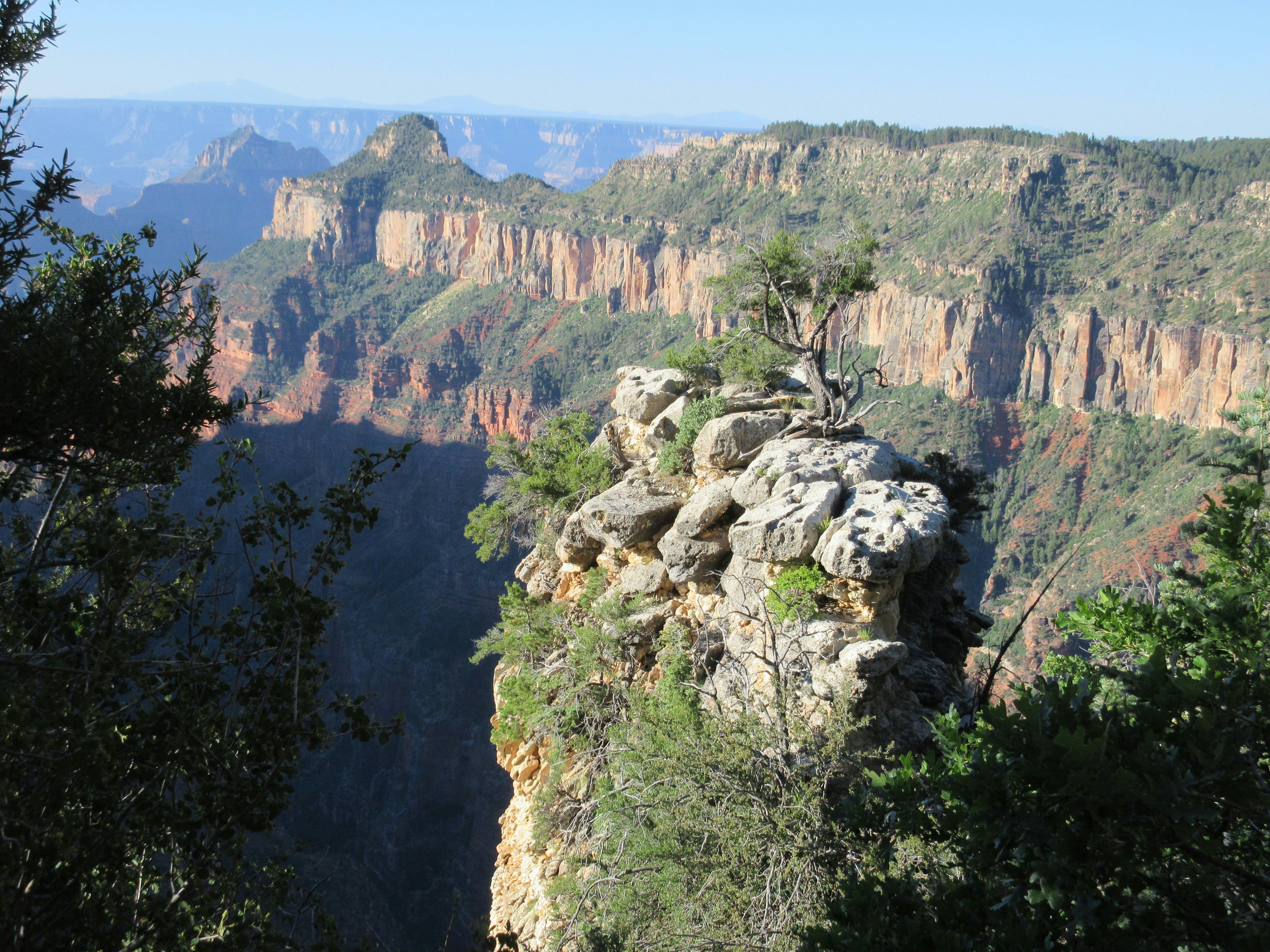
The South Rim of the Grand Canyon gets a lot of love and deservedly so. But repping the North Rim is the Widforss Trail, a well-shaded path that’s loaded with white firs, aspens and blue spruce. The keyword here is shade – for those seeking a reprieve from the beaming Arizona sun, this is a rare trail that offers some. However, you'll still need to pack your sunscreen.
Beyond the immediate green oasis and sculptured rocks in the distance, the Widforss Trail culminates with southern views of Mt Humphreys, Arizona's tallest peak. On a clear day, the views are stunning.
Planning tip: Bring enough water to last you the entire day; there are no drinking water points along this route.


