Advertisement
How to plan an epic 2000-mile hike through Estonia, Latvia and Lithuania

Angelo Zinna
Jun 3, 2025 • 11 min read
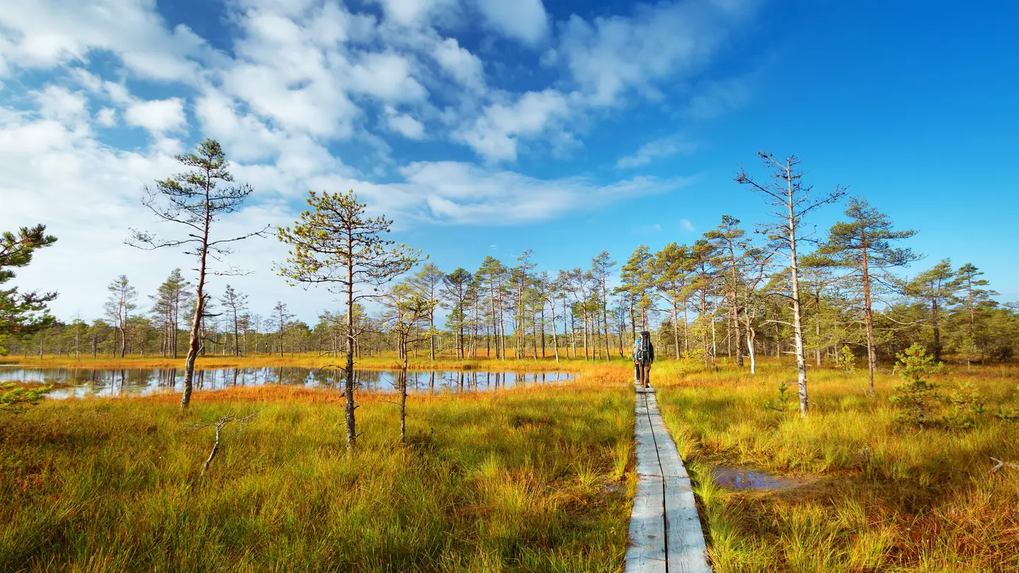
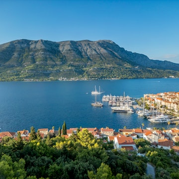
Lahemaa National Park in autumn. LeManna/Shutterstock
Forget snow-capped peaks and the well-trodden paths of alpine fame. The Baltic States – Estonia, Latvia and Lithuania – offer a different kind of adventure, a hushed beauty found in bogs and silent forests endlessly expanding over the plains of northeastern Europe.
Rather than elevation gain, distance is the main challenge for athletic hikers in these parts. The network of paths known as the Baltic Trails allows you to walk for weeks on end, crossing three countries in three months through national parks, rural villages and often unexpected cultural heritage sites.
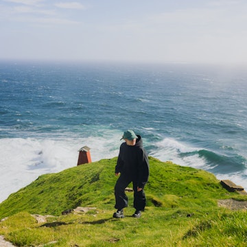
The lack of prominent mountain ranges dissuades summit collectors, and the long, dark winters justify ditching the trails for long sauna sessions. Still, you’d be wrong to think that this corner of northeastern Europe is dull. Far from it – the low and largely rural population leaves space for primeval bogs and a rugged coastline lapped by cold Baltic waters, best discovered at a slow pace.
Here’s all you need to know as you prepare for this (very!) long-distance hike through Estonia, Latvia and Lithuania.
Advertisement
What are the Baltic Trails?
The Baltic Trails comprise two distinct long-distance hiking routes traversing Lithuania, Latvia and Estonia: the Baltic Forest Route and the Baltic Coastal Route. The longer Forest Route stretches for 2141km (1330 miles), commencing in Lazdijai, Lithuania, near the Polish border, and ending in Tallinn’s Old Town. The Coastal Route, a shorter option at 1419km (882 miles), follows the Baltic Sea from Nida, on the Curonian Spit bordering Russia's Kaliningrad region, to Tallinn. Both routes can be done in either direction, south to north or north to south.
Officially inaugurated in 2021 with support from the European Union, the routes combine walking paths with occasional sections on paved and unpaved roads open to car traffic. While waymarking is largely in place, some sections may still be under development, requiring good navigation skills.
Budgeting for 100 to 110 days of walking is realistic for completing the entire Forest Route, considering an average of around 20km (a little more than 12 miles) per day – a doable distance considering that the itinerary is largely flat. The toughest climb on the Forest Route is Estonia’s (and the Baltics’) tallest “peak” - Suur Munamägi with its dizzying 318 meters (1043 feet) of height. Be prepared – on a hot day, you might even break a sweat.
Completing the Coastal Route typically takes 70 to 72 days, averaging a similar daily distance. The Forest Trail connects with the E11 European long-distance path, which extends all the way to the Netherlands.
Both routes offer a unique opportunity to enjoy the diverse landscapes and cultural heritage of the Baltic States at a walking pace, experiencing the region as it transforms through the seasons.
What you can expect to see on the Baltic Trails
Mixed forests cover over half the surface of both Latvia and Estonia, and a third of Lithuania. If you decide to take on the challenge posed by the Baltic Trails, expect to see a lot of trees.
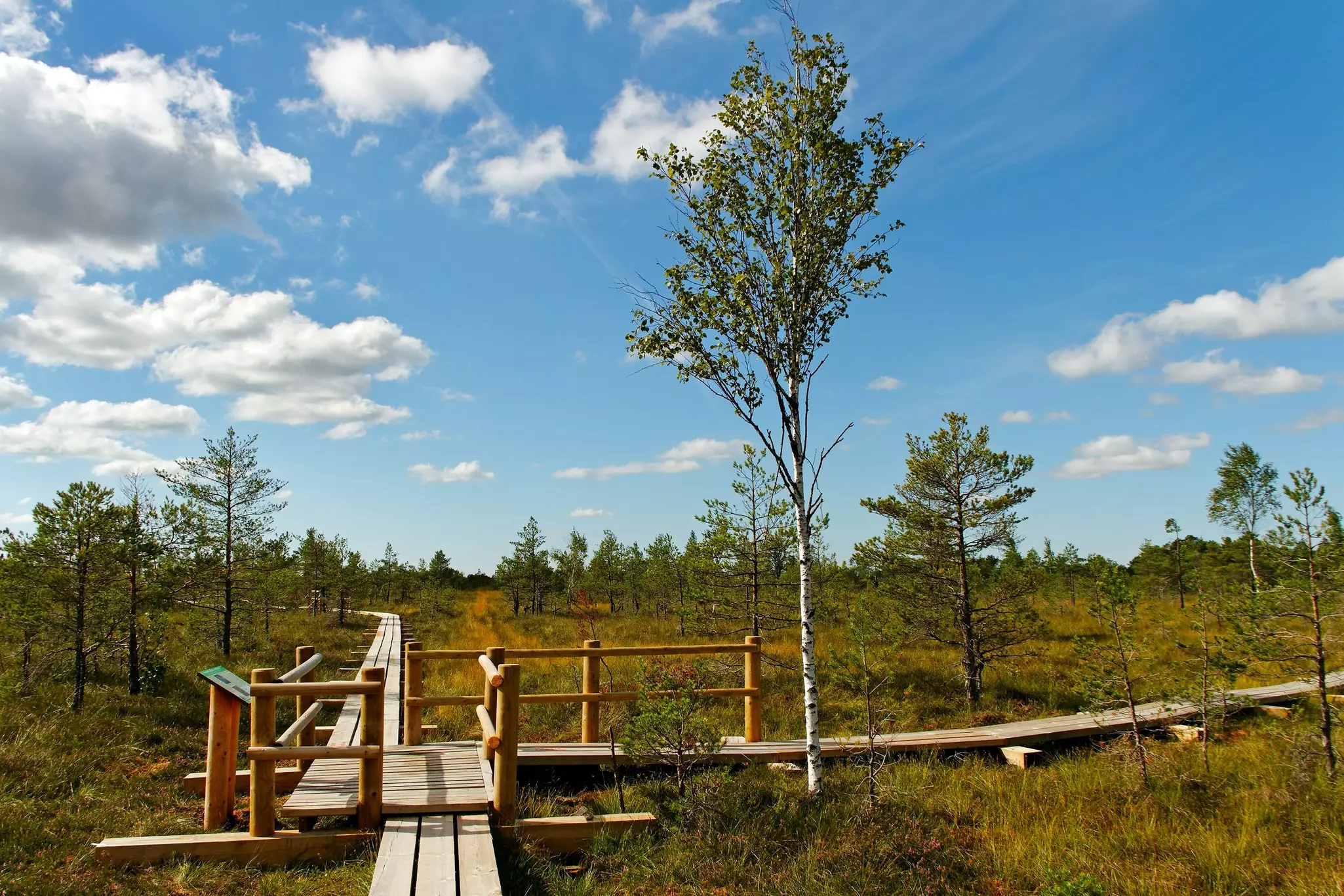
These forests are typical of northern Europe, with a high density of birch and pine trees. Wetlands are another common landscape, especially along the coast. You’ll need special footwear to cross Estonia’s and Latvia’s spongy bogs – many formed in prehistoric times and considered the oldest landscapes in each country – and no shoes at all to stroll on the Curonian Spit’s sand dunes.
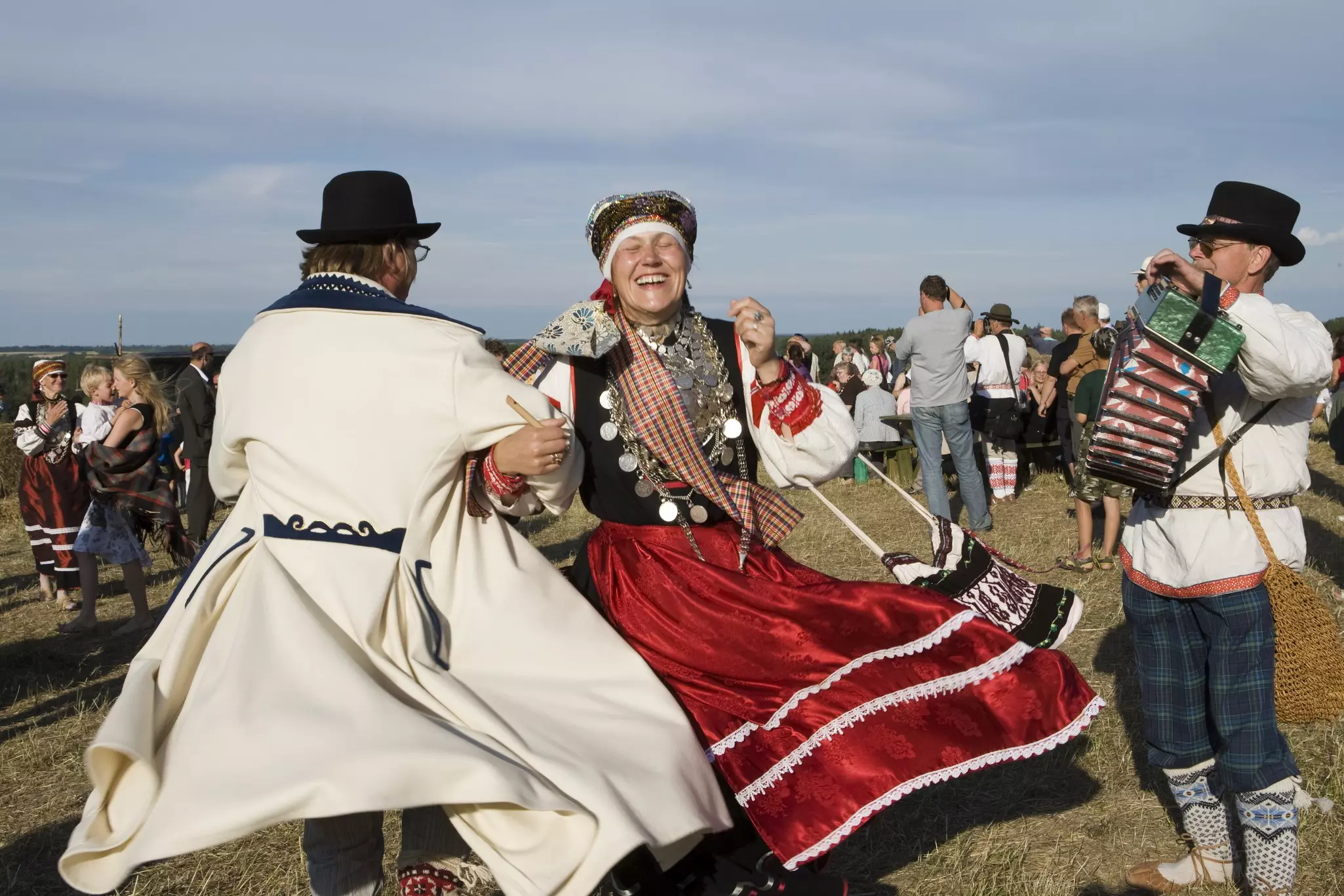
You’ll likely find the built environment and the people you’ll encounter as intriguing as the natural features. The national identities of Estonia, Latvia and Lithuania – while proudly distinct and divergent – have been influenced by a shared turbulent history, whose traces are still visible in the languages, architecture and customs you’ll encounter along the way.
Sights on the Forest Route
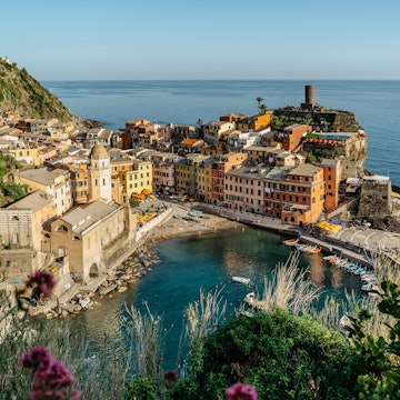
On the Forest Route, you’ll hike through the misty Dubysa River valley before reaching the charming city of Kaunas, Lithuania’s second largest after Vilnius, whose early 20th-century “architecture of optimism” entered the UNESCO World Heritage List in 2023. The hilly Žemaitija National Park and its dozens of glacial lakes offer some gentle slopes in the northeastern part of the country.
Advertisement
After crossing the first border, you’ll move in the direction of another UNESCO-listed city – Kuldīga. The charming old town is made of cobbled alleys and log houses with red rooftops dating back to the period when Kuldīga flourished as the center of the Duchy of Courland and Semigallia (16th-18th centuries). Continue through Gauja National Park – Latvia’s largest – before entering southern Estonia.
The region of Setomaa is home to the Seto minority, whose ancient language and singing culture have been preserved to this day. Especially scenic is the trail running along the Piusa River Valley near Härma, stretching over some of the highest sandstone outcrops in Estonia, including the 43-meter Härma mountain wall.
As you continue along Estonia’s eastern border, you’ll walk along the tiny villages of the “Onion Route” – a collection of tiny settlements scattered along Lake Peipsi (or Peipus), Europe’s largest transboundary lake, dotted by the wooden Orthodox churches of Old Believers communities. Explore the castle at Alatskivi or take a short ferry ride to the remote village of Piirissaar before turning west to reach Estonia’s vast Lahemaa National Park.
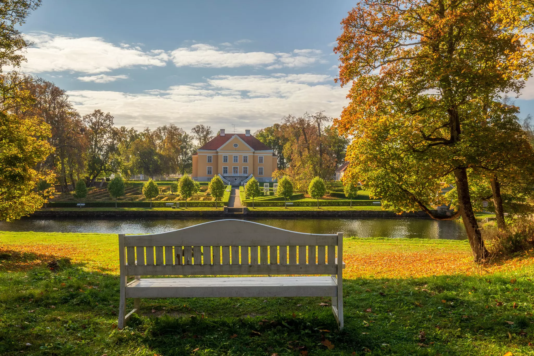
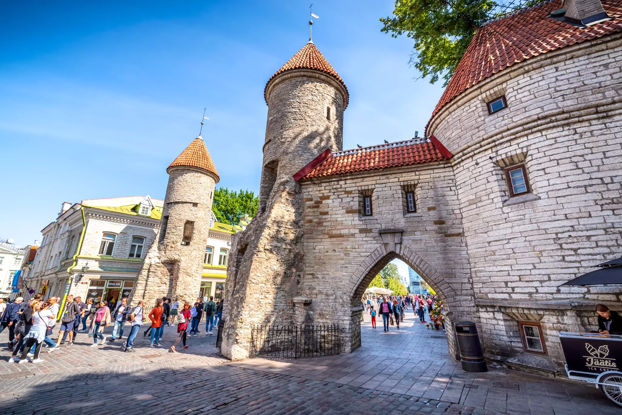
This is Estonia’s best-known national park – expect to find 18th-century manor houses, such as Palmse of Sagadi, that once belonged to the German aristocracy, isolated fishing villages and secretive submarine bases of the Soviet era between forests and bogs. From here, Tallinn is a (relatively) short distance away.
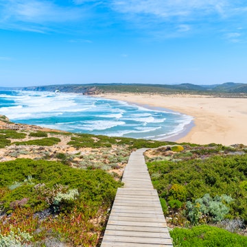
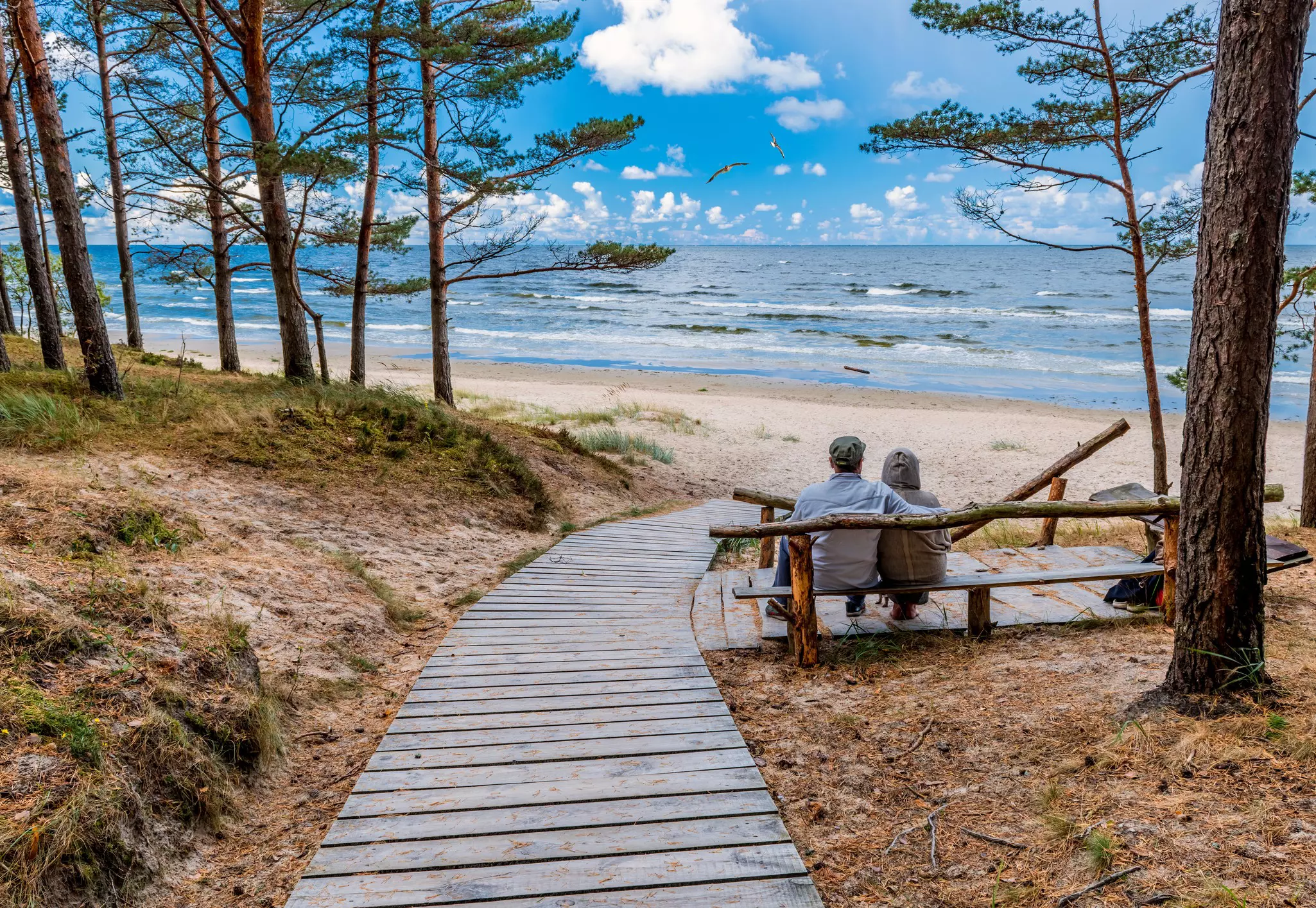
Sights on the Coastal Route
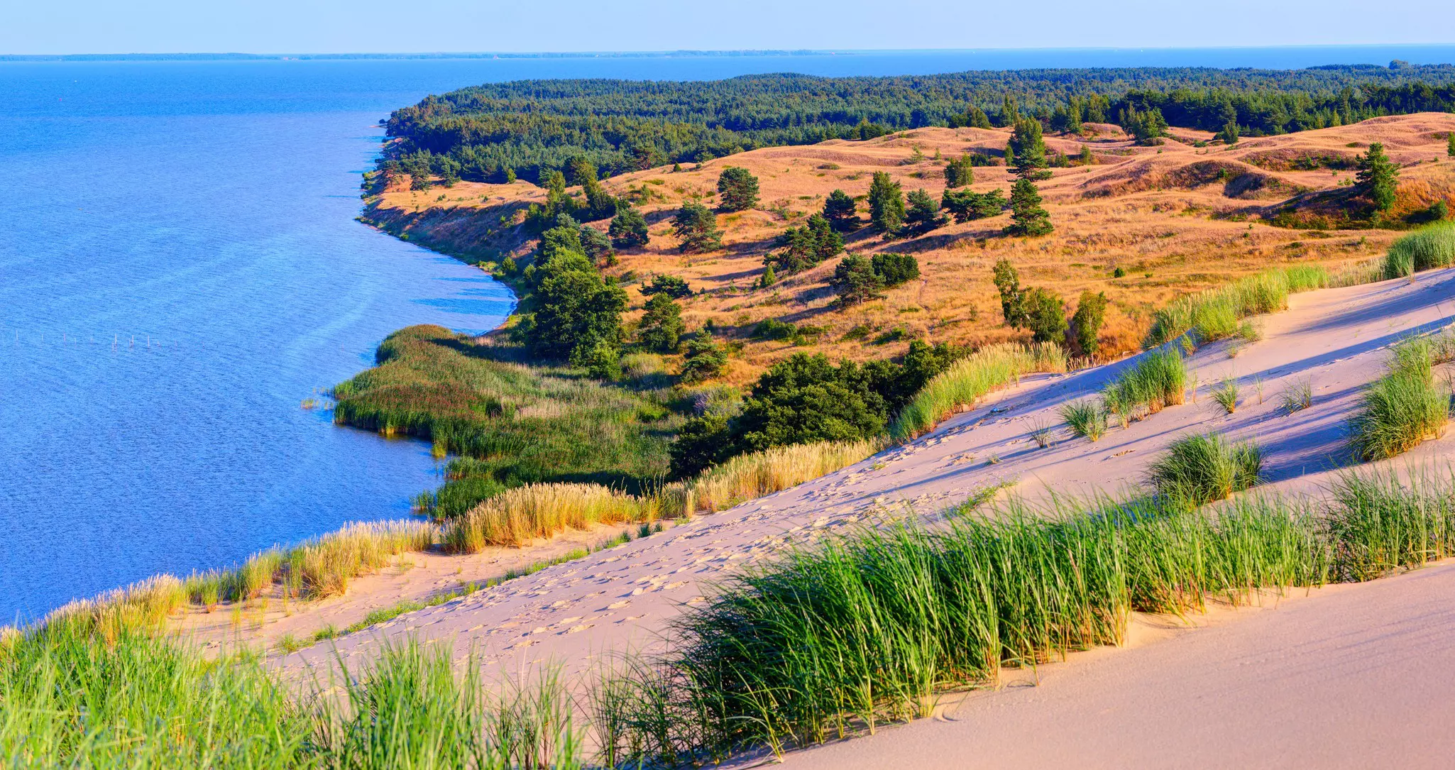
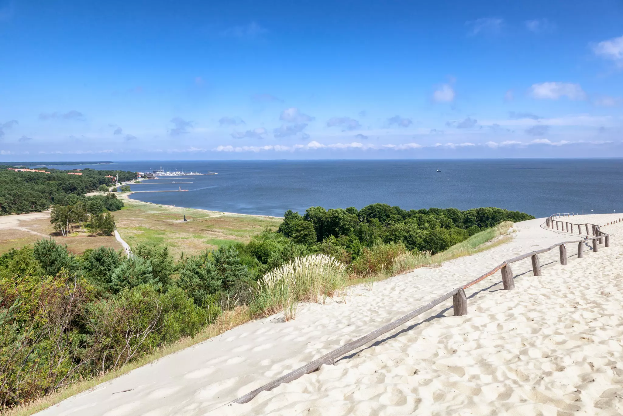
The Curonian Spit marks the beginning of the Coastal Route, which runs up to Latvia. This slender, 98-kilometer-long (60 miles) sand dune peninsula separates the Curonian Lagoon from the Baltic Sea, offering a dramatic blend of natural scenery. Expect to traverse shifting sand dunes, with views of both the lagoon and the open sea.
Diverse ecosystems clash in this unique geological formation, including pine forests, marshlands and charming coastal villages with wooden architecture and rich fishing traditions. Keep an eye out for migratory birds, as the Curonian Spit lies on a major migration route. Inland you’ll pass by the Ķemeri National Park and the resort town of Jūrmala, before reaching the capital Riga.
In Estonia, bird-watchers will enjoy the wetlands of the little-visited Matsalu National Park, an expanse of meadows, pasture lands and reed-covered marshes south of Haapsalu. A possible detour takes you to the Estonian islands of Vormsi and Hiiumaa, before you tackle the northern coast along the Gulf of Finland toward Tallinn.
Preparing for the Baltic Trails
Completing either of the two Baltic Trails is a major undertaking, and preparation is essential if you plan to hike their entire distance. The Baltic Trails website includes detailed maps of each section, plus information on the type of terrain you’ll encounter and services along the way. Keep an eye on the “news” section of the website, as some changes to the routes may occasionally occur due to roadwork.
White-yellow-white marks denote the Forest Route, and white-blue-white signs the Coastal Route. (Other colors may appear on the long paths as they overlap with local trails inside national parks.) To make sure you're following the right itinerary, download the GPX tracks and save them to your own device for the official Baltic Trails website. You can download the GPX tracks for the Forest Route here and for the Coastal Route here. If you are not planning to cover the whole distance at once, you can select individual country itineraries.
The GPS tracks for the entire Baltic Trails are also available on mobile hiking apps such as Wikiloc and Komoot – although you shouldn’t be overly reliant on your smartphone as power outlets along the way are few and far in between.
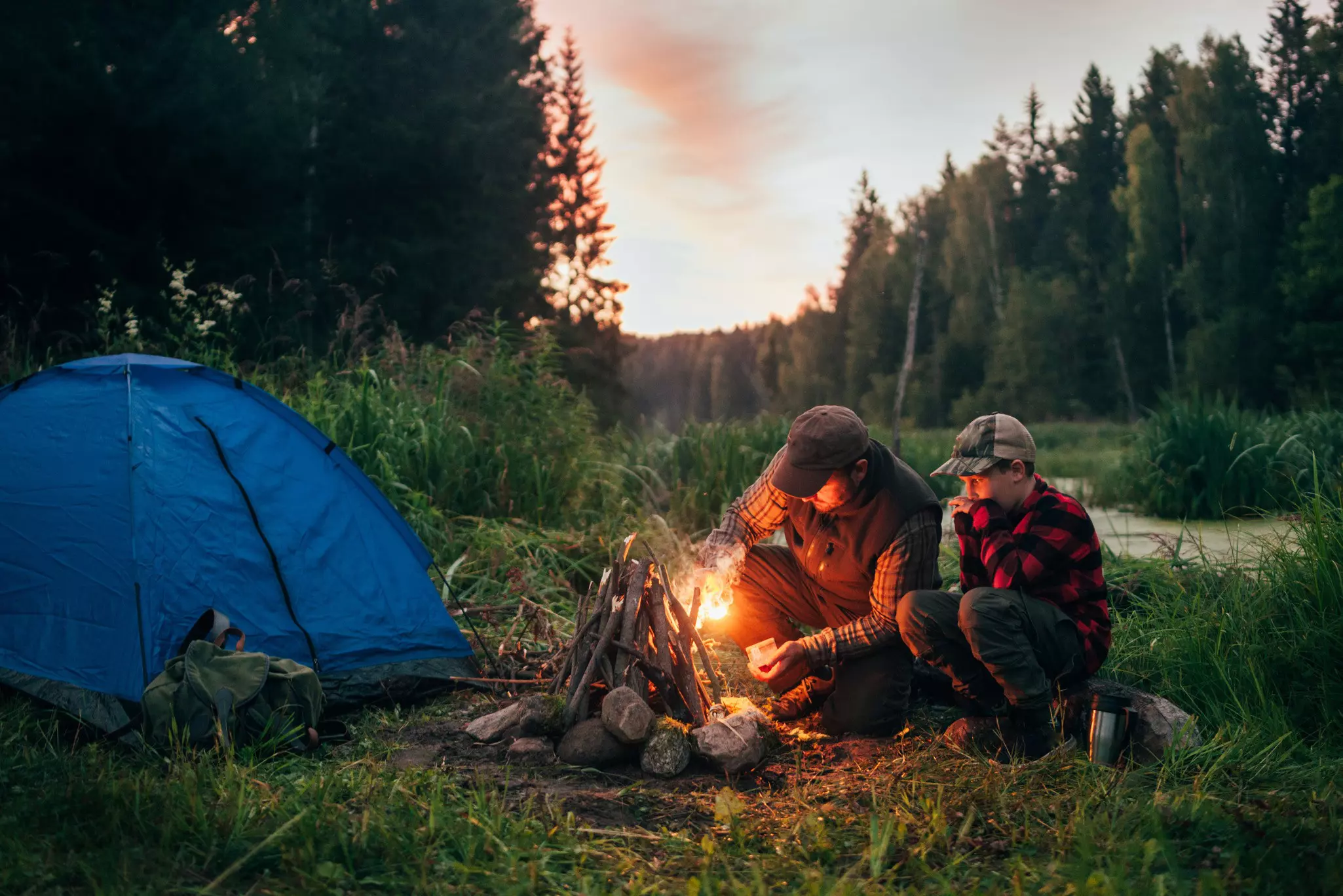
Both trails have been developed to minimize the need for wild camping, with sections of about 20–30km (12.5–19 miles) connecting villages, rural guesthouses, campgrounds and public-transport stops. Be aware that most rural guesthouses only operate during summer months, and that you should always call in advance to make sure a room is available.
Summer is when you’ll have the highest chances of optimal weather, plus long days with sun shining well beyond 10pm. Still, relying on clear Baltic skies for more than a few days in a row is a gamble, and rain and strong winds are pretty much guaranteed. Temperatures can drop in summer, so make sure you have enough layers to face both cool and warm days. Don’t forget mosquito repellent. While mosquitoes don’t carry diseases in the Baltics, they thrive in the swampy areas you’ll inevitably cross at some point. Investing in a net hat will save you some exasperation.
Don’t expect to meet many other hikers on the trails – the Baltic Trails are not (yet) an outdoors hot spot. Also, the Baltic countries are scarcely populated outside of cities, so make sure to carry (more than) enough supplies with you. Villages dot both routes, so you’ll find opportunities to buy food and water along the way, but check the distance between settlements when deciding how much food is worth taking with you.
It’s important to note that outside of hiking trails in national parks, much of the Baltic Trails consists of gravel and asphalt roads open to (minimal) traffic, plus sidewalks in urban areas. While the Coastal Route does indeed follow the coast, the Forest Route does not run through forests in its entirety, with most of it cutting through open countryside. This is especially true in Estonia, where much of the Forest Route can also be done by bike.
If you only have a few days…
Given the length of the Baltic Trails, it’s hard to imagine completing them in one go. (In fact, no one appears to have done so yet.) Most hikers will choose a section of the trail that matches the time they have available. It’s possible to start from anywhere along both routes and hike in either direction.
If you have only a few days, pick one of the many national parks or nature reserves along the way and take a day or a weekend to explore. With public transport very efficient in the Baltic countries, you can easily choose a route that will finish at a bus stop or train station that will get back to your starting point.
The Baltics’ railways system is excellent, and a new rail route launched in early 2025 lets you travel between the three capitals in a single journey (with a train switch in Valga). Book your tickets online via LTG Link, LDz and Elron, Lithuania’s, Latvia’s and Estonia’s rail operators.
Can you cycle the Baltic Trails?
Since many sections of the Baltic Trails will take you along gravel, dirt and asphalt roads, many people prefer cycling over hiking. With low traffic, the coasts of Lake Peipus and the roads of Matsalu National Park are especially suited for cyclists – and the lack of particularly steep climbs allows for enjoyable cycling everywhere.
While we’d recommend a mountain or gravel bike, many areas are easily accessible with a standard road bike. Finding alternative routes is straightforward in sections where cycling is not possible, such as beaches.
Unfortunately, bike-rental facilities are few and far between outside of the main cities.
Is wild camping allowed in the Baltic countries?
Following the “right to roam” principle, Estonia, Latvia and Lithuania do permit wild camping. When choosing where to pitch your tent, however, you should make sure that you are not on private land, which is widespread in the countryside although not always marked as such. It’s forbidden to camp on private land unless you have explicit permission from the owner.
Should I worry about bears?
Of the three countries, Estonia has the largest population of brown bears, at over 900. Latvia and Lithuania have few to no bears hanging around. Most of Estonia’s bears live in the northeastern part of the country, in the deep forests of the Alutaguse National Park. They are shy animals and tend to stay away from humans, although encounters have occurred in the past and it's worth taking the necessary precautions if you are crossing this part of the country.
Advertisement
Take your Baltic States trip with Lonely Planet Journeys
Time to book that trip to Baltic States
Lonely Planet Journeys takes you there with fully customizable trips to top destinations – all crafted by our local experts.