Advertisement

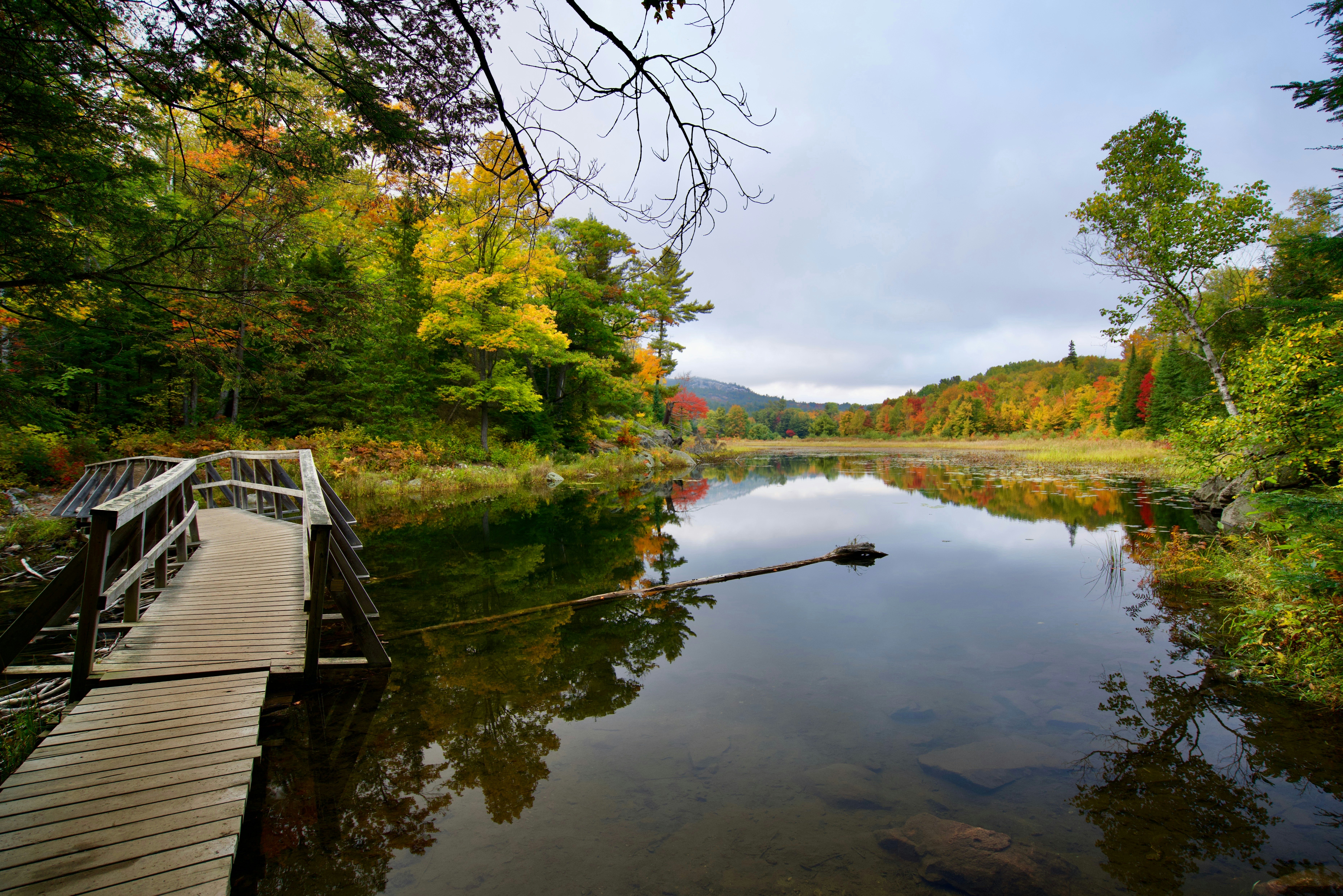
The Crack Trail in Killarney Provincial Park. NelzTabcharani316/Shutterstock
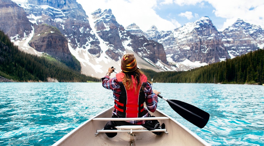
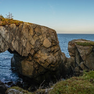
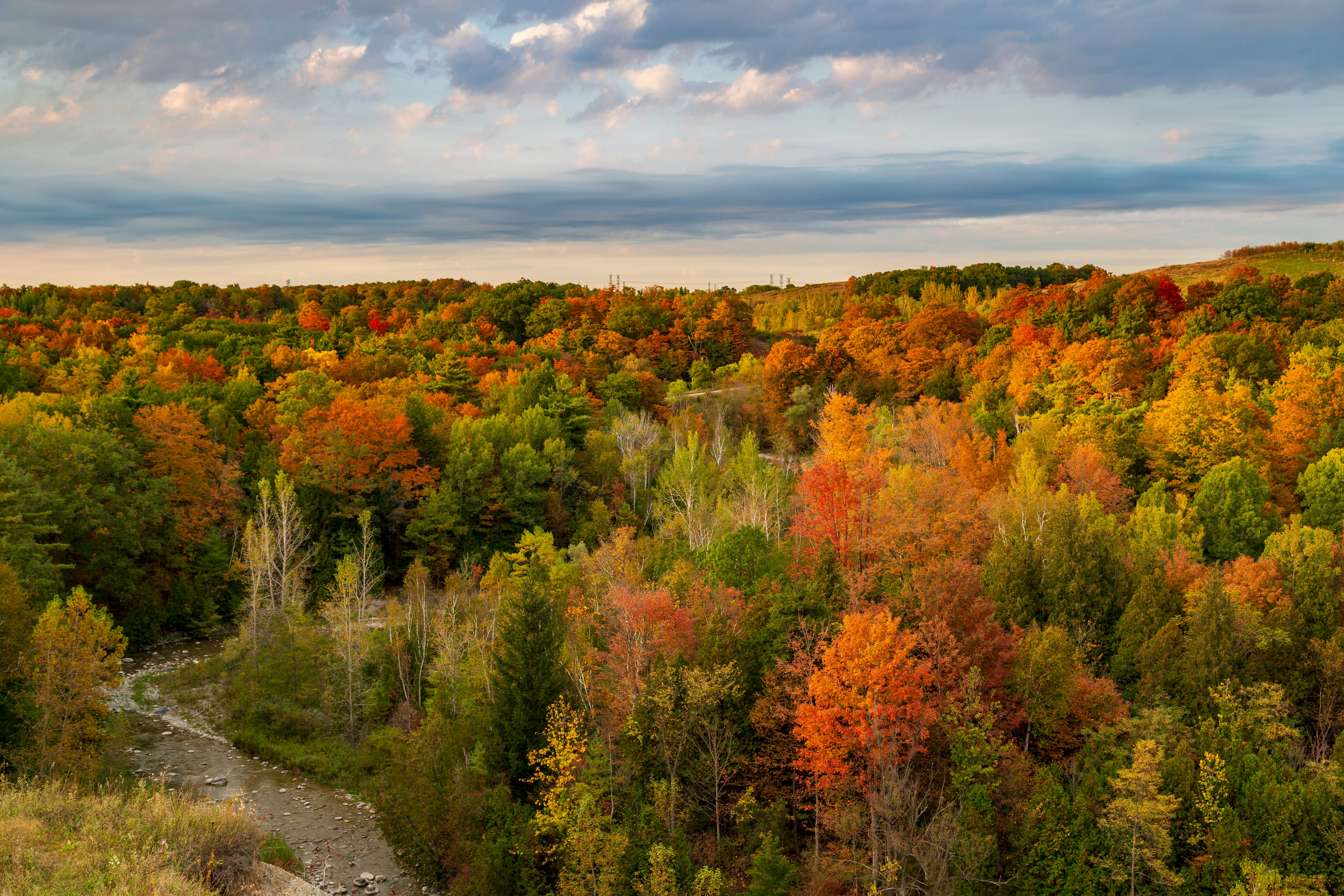
From the soaring snow-capped mountains of Alberta and British Columbia to Newfoundland's wind-blasted ridges and valleys, Canada's great outdoors are a relentless feast for the eyes. And Ontario, its most populous province, is packed with glittering lakes and high hillside trails that form a fine canvas for hiking.
Whether it’s the lakeside Pukaskwa National Park or the cinematic Barron Canyon Trail in Algonquin Provincial Park, Ontario’s 630 provincial parks and conservation reserves cover an area of 9.5 million hectares (36,679 sq miles), so there is plenty of ground to cover, with trails for hikers of all levels of fitness and experience.
Here’s a closer look at seven of Ontario’s best hikes and how to explore them.
Advertisement
1. Barron Canyon Trail
Best for Nordic forest
Distance: 1.5km (0.9 miles)
Estimated time to complete: 40 minutes
Level of difficulty: moderate
Tucked inside Ontario’s far eastern corner just beyond the border with Québec, Algonquin Provincial Park was established in 1893 and is the oldest provincial park in Canada. Its dense foliage of old-growth sugar maple, hemlock and yellow birch forests hides 2400 serene lakes and 1200km (745 miles) of serpentine streams and rivers. In other words, it’s perfect for a scenic hike.
Barron Canyon is near the park’s eastern gate and runs along the rim of a 100-meter-high (328ft) gorge that was formed during the last ice age. At 1.5km long (0.9 miles), this loop trail is relatively short, but the wide-screen views from the rocky summit are majestic, with the glassy river below piercing through a lush mass of green pine. Keep an eye on the sky for gliding bald eagles and red-tailed hawks.
Planning tip: The trail might be short but bring sturdy hiking boots as it is steep in sections and can be slippery in the colder, icy months, and in wet conditions. Allow three hours to drive from Ottawa and five from Toronto.
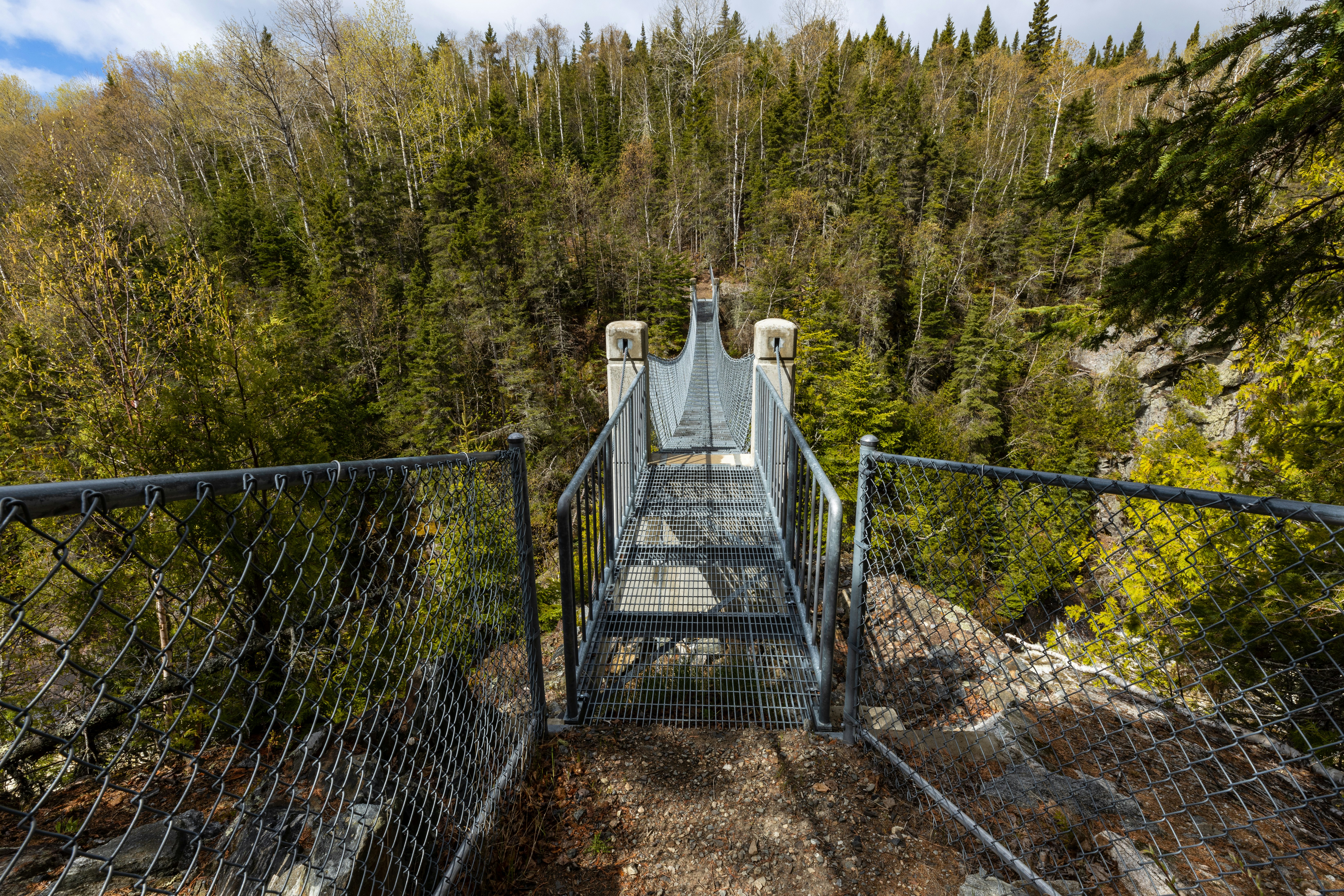
2. White River Suspension Bridge Trail
Best for raw wilderness
Distance: 18km (11 miles)
Estimated time to complete: 5–6 hours
Level of difficulty: challenging
While the Pukaskwa Coastal Trail in Pukaskwa National Park extends to a full 60km (27 miles), the out-and-back White River Suspension Bridge Trail is a more manageable – and equally spectacular – 18km (11-mile) day hike. Set on the northern shores of Lake Superior, the park is almost equidistant between Thunder Bay and Sault St Marie, meaning a three- to four-hour drive from either, depending on where you base yourself.
After traversing high ravines, craggy rocks, mossy forests and wooden boardwalks, you reach the highlight: the swaying suspension bridge 23 meters (75ft) above the rushing Chigamiwinigum Falls. Look out for moose, black bears and beavers along the way, and bring bug spray for the pesky mosquitoes and horse flies in the hot summer months.
Planning tip: Budget time and money for gas and hotel stays, as this is one of Ontario’s most remote hikes and it’s worth spending at least a day or two in the area. If you aren’t camping (at Hattie Grove, for example), the small town of Marathon is the nearest to the trailheads and contains a Travelodge and a couple of smaller inns.
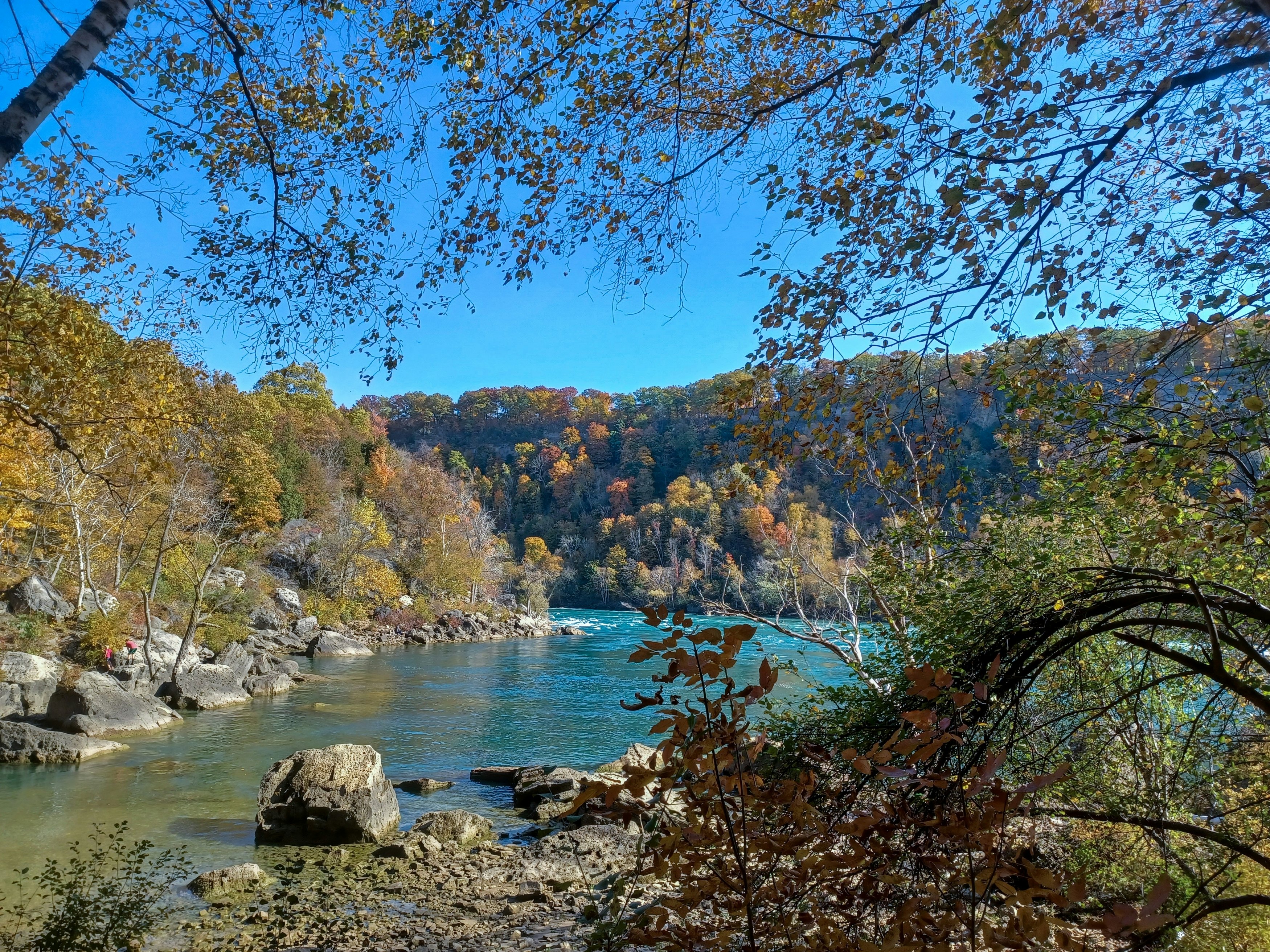
3. Niagara Glen Trail
Best for families
Advertisement
Distance: 2.4km (1.5 miles)
Estimated time to complete: 50 minutes
Level of difficulty: moderate
Just north of the famous falls, the Niagara Gorge is one of the last remaining areas of old-growth Carolinian forest in the Niagara region.
The Niagara Glen Trail is a short loop that starts in the forest, then emerges at times along the Niagara River, which in the right light, takes on a cinematic turquoise-green color. There isn’t much elevation, but there are some steep parts that can be slippery when wet. Large boulders accompany the trail for natural opportunities to sit and soak up the scenery.
As a bonus, the soapy wake of the Niagara Whirlpool can be viewed after a 15-minute walk south.
Planning tip: Add to the experience by listening to the Rekindling All Our Relations audio tour, curated and spoken by members of the Niagara Indigenous communities. Handheld audio devices are available at the nature center, or you can download the conversation to play on your phone.
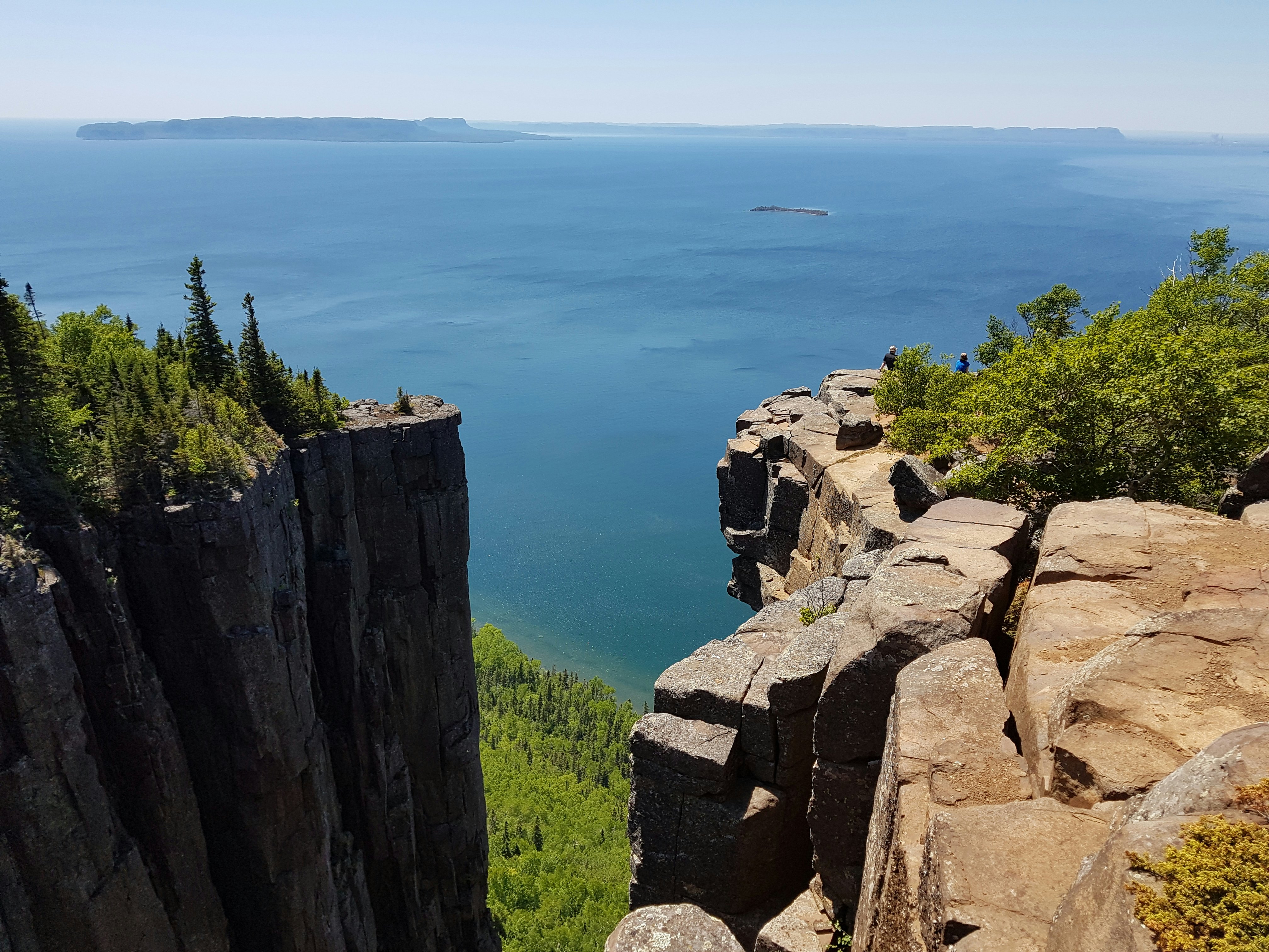
4. Top of the Giant Trail
Best long-distance hike
Distance: 22km (14 miles)
Estimated time to complete: 5–7 hours
Level of difficulty: challenging
An hour’s drive east of Thunder Bay, Sleeping Giant Provincial Park is on the Sibley Peninsula, which juts out into Lake Superior’s icy waters. The park was named for its series of volcanic mesas that look like a giant sleeping on its back when seen from the nearby shores of Thunder Bay.
There are over 100km (62 miles) of paths here, and the Top of the Giant Trail is one of the finest. It’s a 22km (14-mile) out-and-back route; the first half is fairly easygoing, and it becomes steeper as you get closer to the 290-meter (951ft) summit. You’ll pass lush ostrich ferns and eastern red cedar along the way, while over 100 species of birds swoop and lark about above, including the bright yellow magnolia warbler and the tiny winter wren. At the top you’ll be rewarded with majestic views of Lake Superior, the nearby islands and Thunder Bay.
Planning tip: To visit, you’ll need to buy a vehicle permit at the visitors center or, even better if you’re planning to visit on a busy summer weekend, buy it online before you arrive (they’re available five days in advance), which will guarantee a parking spot. The nearby Marie Louise Lake Campground is convenient for overnight stays, but the small number of rustic cabins should be booked weeks or months in advance.
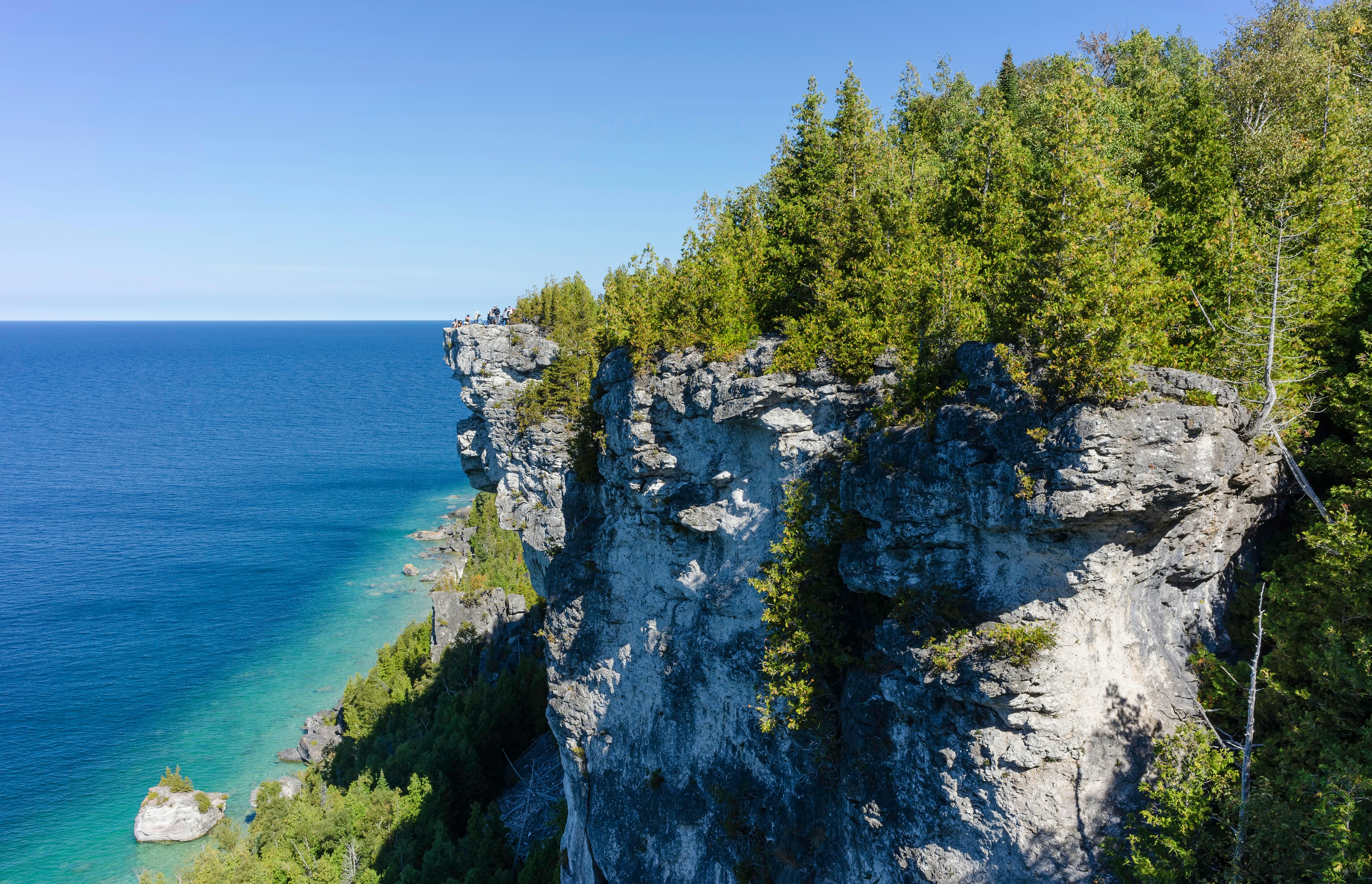
5. Lion’s Head Lookout Trail
Best for lake views
Distance: 7.1km (4.4 miles)
Estimated time to complete: 2 hours
Level of difficulty: moderate
The Bruce Peninsula on Lake Huron is about a three-hour drive north of Toronto, and the small Lion’s Head Provincial Park juts out into Georgian Bay about halfway down the peninsula’s eastern side. The trailhead is just a short drive from the small town of Lion’s Head, which has a beach, shops, a restaurant and several B&Bs.
Heading into shaded birch forest before bending north to the crystalline shores of Georgian Bay, the 7.1km (4.4-mile) out-and-back Lion's Head Lookout Trail is all about the glimmering bayside views from the park’s limestone cliffs.
Planning tip: This accessible corner of Ontario is open year-round but is particularly beautiful on sunny fall days, when the dazzling oranges and reds of the autumn foliage mesh with the still blue of the lake.
6. Orchard Trail
Best for a day trip from Toronto
Distance: 10km (6.2 miles)
Estimated time to complete: 2 hours
Level of difficulty: Easy
About a 45-minute drive from downtown Toronto, Rouge National Urban Park is a green haven on the eastern fringes of Toronto’s suburban sprawl, next to the Toronto Zoo. The Orchard Trail is one of several walks, and with its twisting branches, languid creeks and artificial wetlands, this 5km (3-mile) out-and-back trail is the pick of the bunch.
The trail begins in dense young forest that’s gently undulating before opening up toward the end as you head to the wetlands. When passing the wetlands, look out for buffleheads, painted turtles and swans. At the northern trailhead, there’s the option to tackle the 4.4km (2.75-mile) Cedar Trail or the 1.5km (1-mile) Beare Wetlands Loop.
Planning tip: The northern trailhead on Zoo Road is closed until 2027 due to the construction of a new visitors center. So hikers must begin from the southern trailhead at the Twyn Rivers Day Use Area (where there’s ample parking).
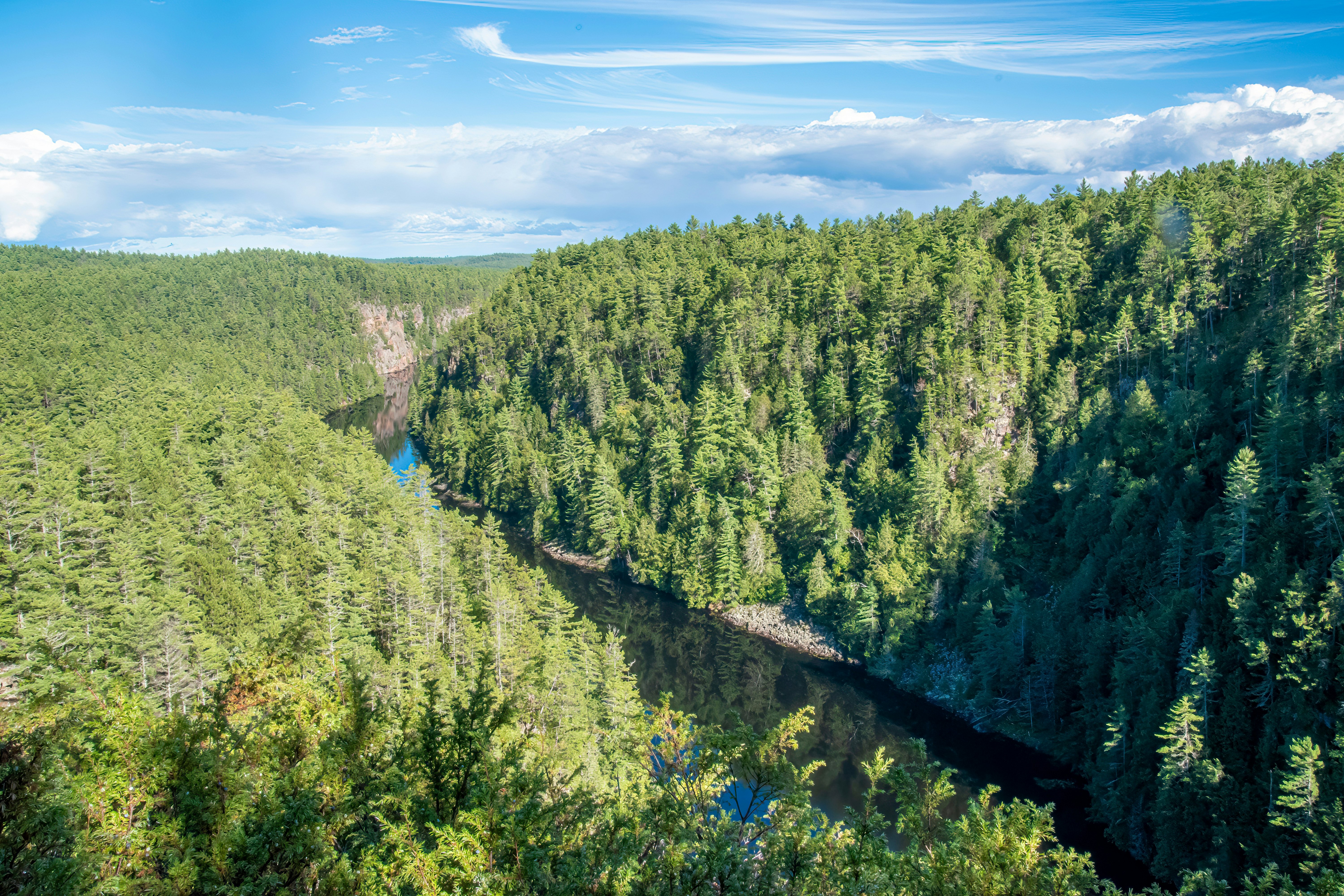
7. Crack Trail
Best for ancient landscapes
Distance: 7.6km (4.7 miles)
Estimated time to complete: 4 hours
Level of difficulty: challenging
Rugged and wild, Killarney Provincial Park sits at the northern end of Georgian Bay and is just over an hour’s drive from Sudbury, the largest city in northern Ontario. Covering an area of nearly 500 sq km (193 sq miles), its dense boreal forest, white quartzite cliffs and mirrorlike lakes form one of Ontario’s finest landscapes.
The out-and-back Crack Trail starts in woodland but eventually becomes a steeper scramble over boulders and rock piles, including a walk through a deep crevasse that seems like a crack in the earth. The final part of this climb is a challenge, but the views from the summit at Killarney Ridge across Georgian Bay and toward the distant mountains are sublime.
Planning tip: Northbound Tours leads one-day guided hikes of the Crack Trail, with departures leaving from the Yorkdale TTC (Toronto Transit Commission) station in Toronto.
Advertisement
Take your Canada trip with Lonely Planet Journeys
Time to book that trip to Canada
Lonely Planet Journeys takes you there with fully customizable trips to top destinations – all crafted by our local experts.