Advertisement
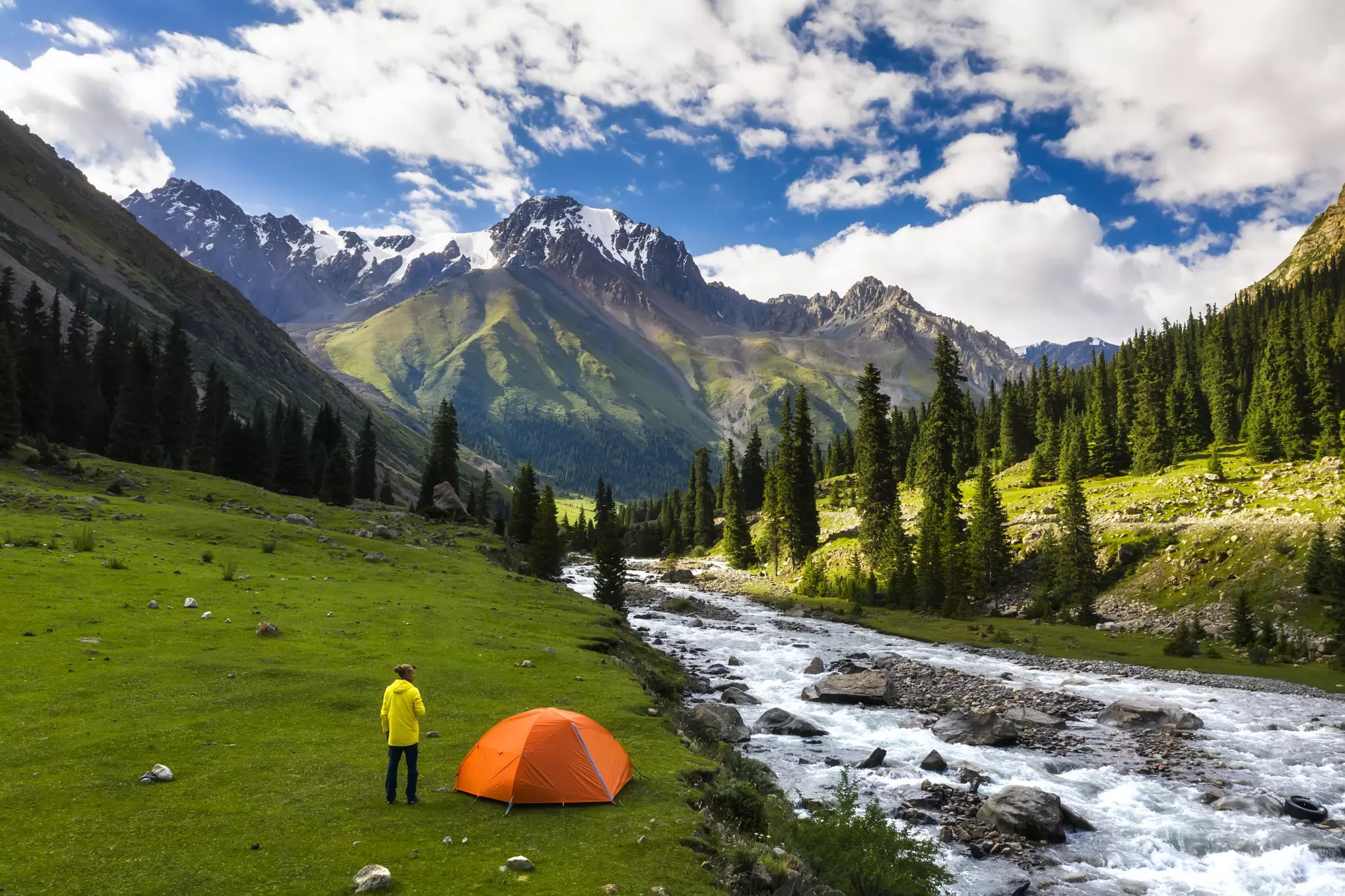
Hiking in Kyrgyzstan is thrilling – and not just for advanced trekkers. These seven ideas appeal to walkers of all levels. Shutterstock
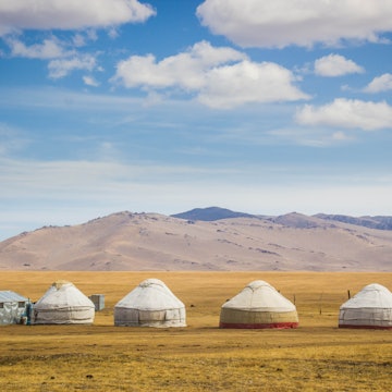
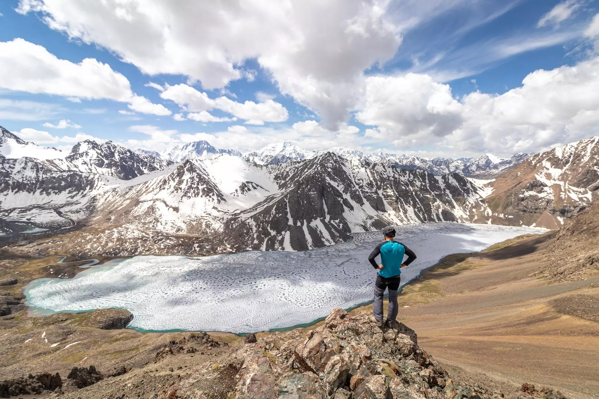
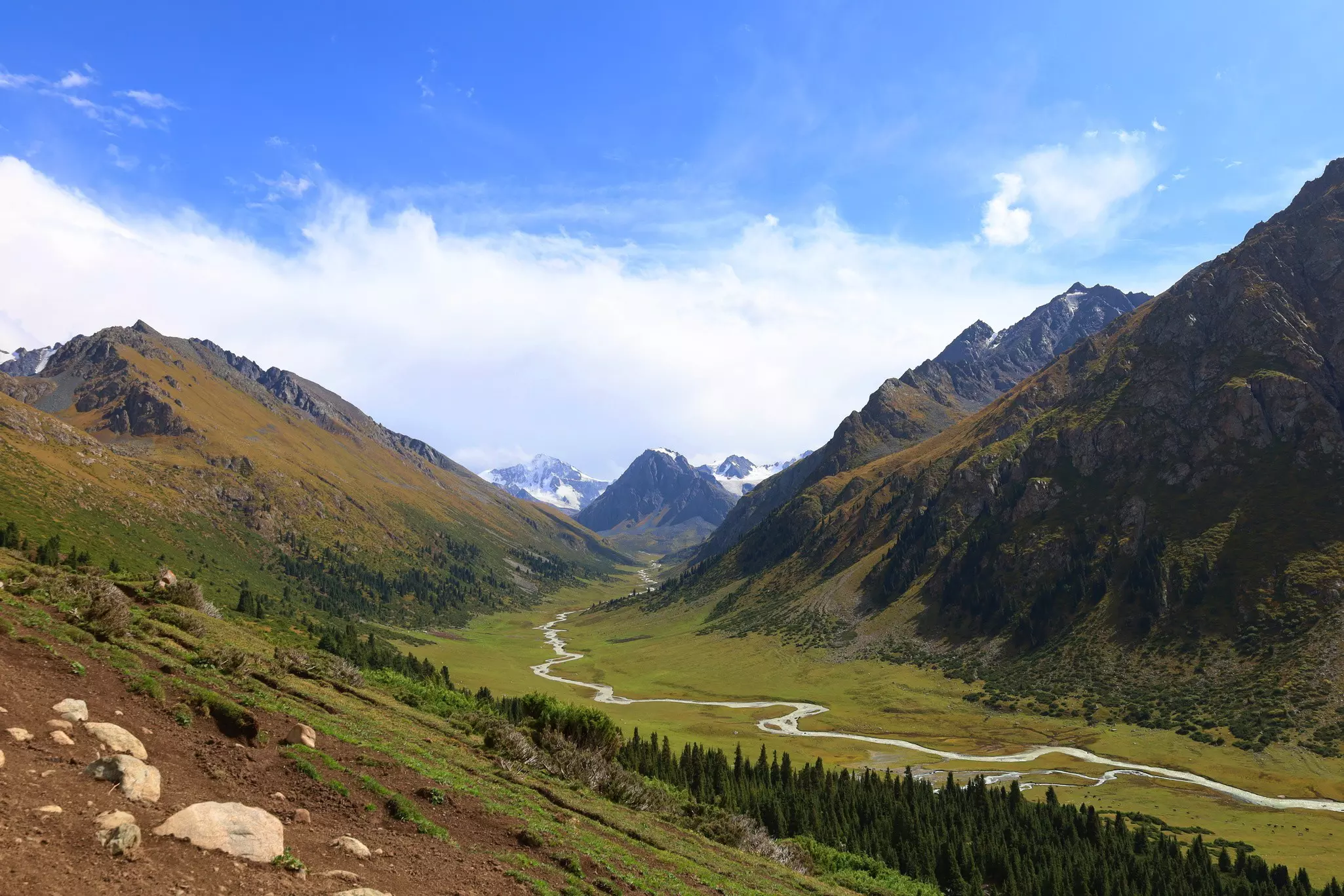
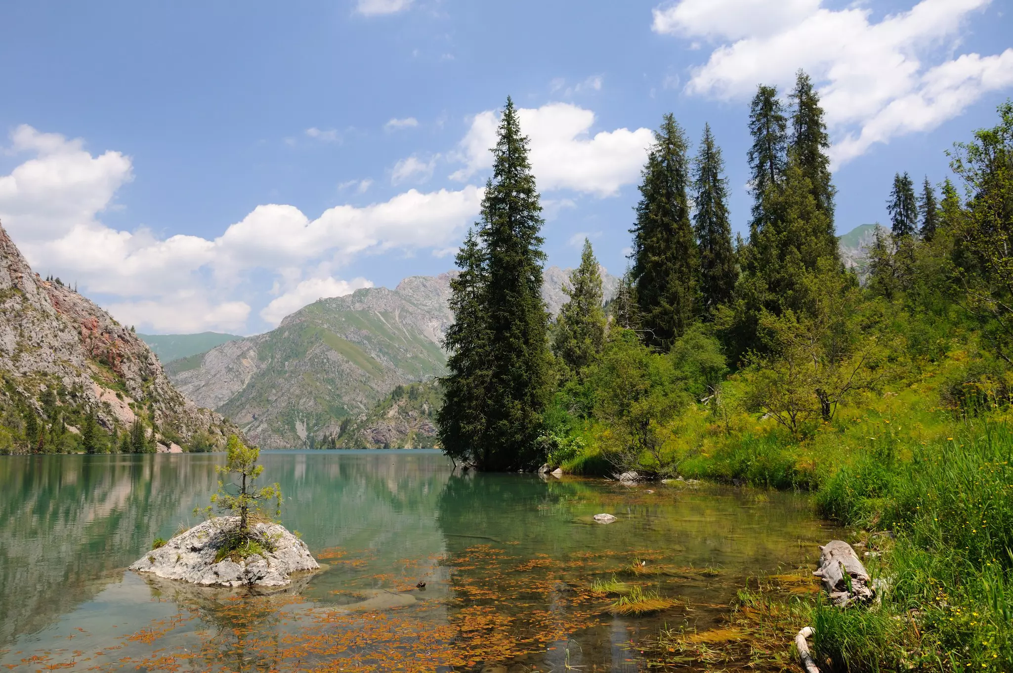
The views from mountain trails in Kyrgyzstan do not disappoint. Glacier-fed rivers descend from the high alpine zone to lush green valleys, flowing past isolated yurt camps and turquoise mountain lakes. Above, the snow-capped peaks of the Tien Shan reach 7000m and higher into the sky toward the inspiration of their celestial name: the Heavenly Mountains.
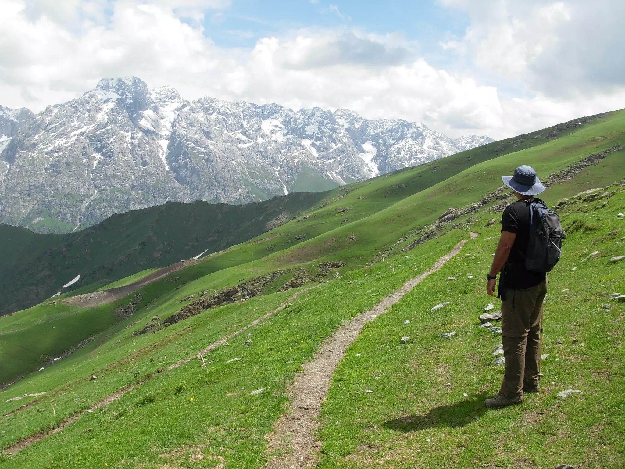
Most of the best hikes in this Central Asian nation meander up switchbacked passes and toward rushing rivers throughout the Tien Shan. In a country whose territory is 94% mountains, trekking in Kyrgyzstan is often the only way to access the wildest and most incredible landscapes.
Apart from Kyrgyzstan’s most-popular hiking routes, visitors will often feel like they’ve got these landscapes all to themselves. In most regions, you’ll see more shepherds than fellow travelers. And even the few truly busy paths have their rewards, as they lead to some of the most incredible mountain scenery in all of Central Asia – or the world, for that matter.
Read on to learn more about Kyrgyzstan’s best hiking trails.
Advertisement
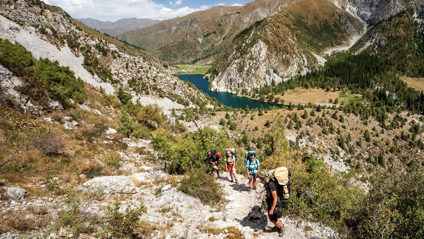
1. Ala-Köl Lake Loop
Best hike for stunning panoramas
Distance: 46km with 2094m elevation gain
Estimated time to complete: 2–3 days
Level of difficulty: Moderate
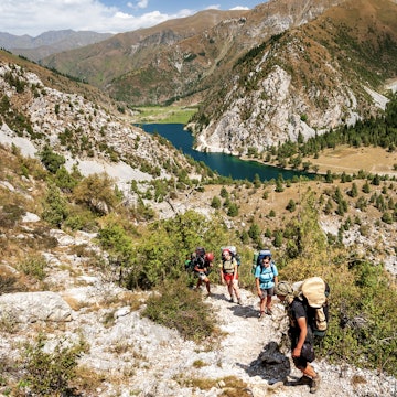
No guide to trekking in Kyrgyzstan would be complete without mention of Ala-Köl, one of the most popular hikes in the country and one of the best mountain panoramas anywhere in the region.
The hike climbs gently through pastures along the Karakol River before turning sharply and steeply through a dense spruce forest toward the rocky alpine zone. From the western edge of Ala-Köl (an alpine lake), the trail climbs another 370m to 3900m-high Ala-Köl Pass, opening a little more with every step into a spectacular 270° panorama.
Layered mountain ridges reach 5000m and higher, though the shining Takyr-Tor glacier that feeds Ala-Köl dominates the scene. Descending quickly into the Keldike Valley, the route continues through forest cover to Altyn Arashan hot springs (great for a mid-hike soak) and onward to the town of Ak-Suu, near Karakol.
Planning tip: The Ala-Köl trek starts at the entrance gate to Karakol National Park, though private transport can typically drop hikers at the second bridge over the Karakol River, saving you around 7km of road-walking.
2. Shatyly Viewpoint
Best short walk (and best sunrise)
Distance: 3.2km with 177m elevation gain
Estimated time to complete: 1 hour
Level of difficulty: Easy
The low rays of the rising sun catch the tops of washboard hills running from the shore of Ysyk-Köl lake toward the snowy peaks of the Terskey Alatoo range behind. The short walk to Shatyly Viewpoint is a big payoff for small effort any time of day – but it really shines at dawn, as the light on the Tien Shan signals the start of a new day.
Planning tip: A 12km dirt road out of Bökönbaev town runs up the Boz-Salkyn Valley to the Shatyly starting point. No public transport is available, so you’ll have to rely on a private driver or guide.
3. Ak-Suu Transverse
Best long-distance hike
Advertisement
Distance: 109km with 7155m elevation gain
Estimated time to complete: 7 days
Level of difficulty: Moderate to challenging
The weeklong Ak-Suu Transverse adds 2 and 3 days onto each side of Ala-Köl, connecting the ecotourism hub of Jyrgalan to the red rocks of the Jeti-Ögüz Valley over some of the country’s best trekking terrain. One to two passes per day lead hikers past lakes, waterfalls, the glaciated south face of exquisite Tashtanbek-Tor Bashi peak and over the panoramic pass to Ala-Köl.
Travelers wary of carrying a full pack over such distance and elevation can opt for room and board in a network of yurt camps opened in 2024 by Karakol-based Kyrgyz Life.
Planning tip: The Ak-Suu Transverse starts in Jyrgalan Valley and ends at Jeti-Ögüz resort (temporarily closed), both of which are accessible by public transportation from the city of Karakol.
4. Shar Waterfall
Best waterfall hike
Distance: 17km with 822m elevation gain
Estimated time to complete: 6–8 hours
Level of difficulty: Moderate
Central Asia’s tallest waterfall plunges more than 400m down a stepped cliff face at the top of the Tuyuk Bogoshtu Valley in Kyrgyzstan’s Naryn region. Though just off the road to popular Köl-Suu lake, Shar is little-visited by trekkers – and on most days it’ll be just you and the shepherds enjoying the cold spray at the base of the falls.
The hike to Shar Waterfall is a straightforward, moderate climb along a forested slope, with the waterfall peeking occasionally through the trees. Eventually, the trail opens into a high cirque for the final 1.5km to the base of the falls.
Planning tip: Start walking from a yurt camp at the end of the road 6km past Bash Kaindy village, near At-Bashi town. No public transport runs past the village, so either hike in or hire a private car.
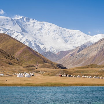
5. Heights of Alay
Best multiday loop hike
Distance: 85km with 4435m elevation gain
Estimated time to complete: 5 days
Level of difficulty: Moderate to challenging
Though in fact part of the Pamir-Alay rather than the Tien Shan, one of the top hikes in Kyrgyzstan’s southern regions climbs three passes in 5–6 days, capped by horizon-stretching views of the Peak Lenin massif, across the Alay Valley, from atop 4185m Jiptik Pass. More moonscape than mountain meadow, the pass offers a sharp contrast with the green valleys at the trek’s lower elevations and the red rock walls of Kozho-Kelen village halfway through the trek.
If the hike seems too ambitious with a full pack, it’s possible to stay in yurt camps and guesthouses along the full route. Visit Alay and CBT Sary Mogol can arrange drivers, guides and pack horses, and prebook yurt stays along the route.
Planning tip: Both legs of the loop terminate in the Alay Valley around 20km north of Sary-Mogol.
6. Sary-Chelek Lakes Loop
Best one-day loop hike
Distance: 10.68km with 440m elevation gain
Estimated time to complete: 3 hours
Level of difficulty: Easy
While 6km-long Sary-Chelek lake tends to steal the spotlight in the eponymous Sary-Chelek Nature Reserve, the area is home to seven total mountain lakes tucked between rolling hills and, in the case of Kara-Kmysh lake, just across the next mountain ridges. The easy Sary-Chelek Lakes Loop takes in six of the seven, winding through fields of wildflowers in spring and the busy hay harvest in late summer. It’s an easy 1-day add-on to cross over that pass to number seven.
In contrast with most of Kyrgyzstan’s best trekking, the sub-2000m elevation also gives the area a much longer trekking season and comparably warmer temperatures, making it an excellent shoulder-season hike in Kyrgyzstan.
Planning tip: The loop starts from the end of the road in Sary-Chelek Nature Reserve, around 15km past the entrance in Arkyt village.
7. Boirok Grove
Best hike for fall foliage
Distance: 6km with 478m elevation gain
Estimated time to complete: 2–3 hours
Level of difficulty: Easy
A pretty but unremarkable stand of birch trees not far from Bishkek becomes a magnet for local hikers in late October as brilliant golden foliage fills the Boirok Valley. Walking in atop an open hillside, the hike provides wide views up the main valley of Ala-Archa National Park before dipping into Boirok and its spruce trees. Inside the grove, strips of white birch bark contrast starkly against the ground beneath a canopy of golden leaves.
This short and easy trek is a popular destination for weekend picnics; on weekend mornings or weekdays in fall, hikers will typically have it to themselves.
Planning tip: Public transportation travels between Bishkek and the village of Kashka Suu, from which a 1.25km dirt road leads to the Boirok trailhead.
Top tips for trekking in Kyrgyzstan
High-elevation hiking in Kyrgyzstan is best from July through September, when passes are largely open and weather is typically pleasant. Lower elevations are often accessible from mid-May to mid-October – but be sure to inquire locally and pack for the chance of snow.
Wild camping is allowed throughout the mountains, though you should stay aware of livestock-movement patterns or risk waking up amid a sea of sheep. Near yurts, beware of sheep dogs as they’re typically wary of strangers. In the rare event that a shepherd asks you to move elsewhere, just pack your gear and carry on a little further.
Gear rental is reliably available in Bishkek, Karakol, Osh and Naryn. Since equipment quality and weight vary significantly, experienced long-distance hikers will prefer to rely on their own equipment from home. Still, prices track with quality, and it’s generally no problem to gear up for under 1,749 Kyrgyzstani som per day.
While specialized dehydrated trekking meals are rare in Kyrgyzstan, local bazaars are a great place to stock up on locally harvested nuts and dried fruits for hiking snacks.
Advertisement
Explore related stories

Sep 30, 20206 min read
How artificial intelligence is helping these companies protect the world's wildlife